
Our Portfolio
Showcasing Our Recent Projects
Explore a selection of our innovative projects that highlight our capabilities in aerial mapping and digital twinning. Each project demonstrates our commitment to quality and precision.
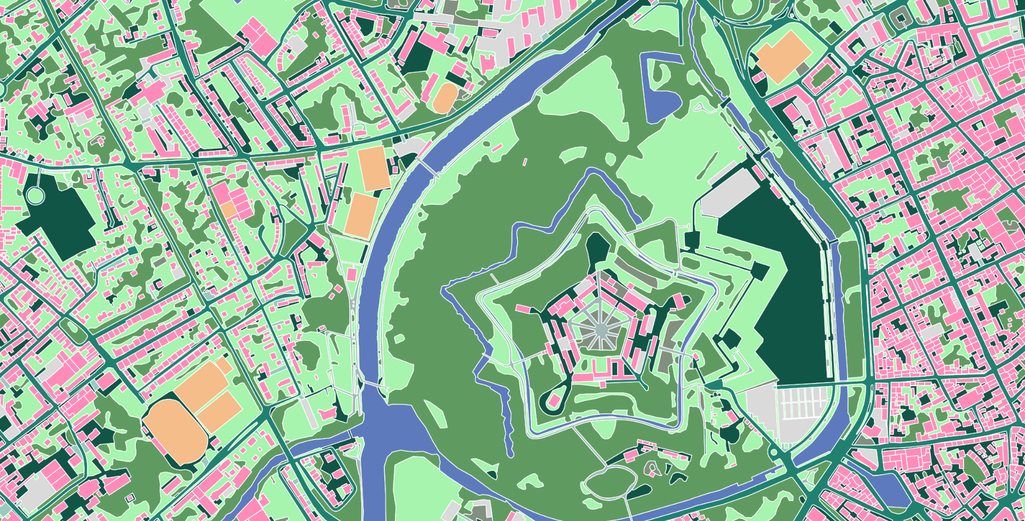
Urban Landscape Mapping
This project involved mapping urban landscapes using advanced aerial techniques to create accurate and detailed representations. Our approach enabled improved planning and resource allocation for city developments.
Coastal Erosion Analysis
Our coastal erosion analysis project utilized digital twinning technology to assess shoreline changes over time. This ongoing monitoring aids in strategic responses to environmental challenges.
Agricultural Land Use
We collaborated with farmers to map agricultural land use, providing them with insights to optimize crop production and manage resources more efficiently using aerial mapping techniques.
Agricultural Land Use
We collaborated with farmers to map agricultural land use, providing them with insights to optimize crop production and manage resources more efficiently using aerial mapping techniques.