Skip to content

As the European Union works to foster a more sustainable and climate-resilient future for its citizens, various funding programs have been introduced that member states, municipalities, and other eligible entities can apply for to support stormwater management and climate infrastructure planning. Each program has distinct eligibility criteria and application deadlines. To simplify the process and assist national and local authorities in securing EU funding for geospatial mapping and infrastructure projects, we have outlined the principal funding opportunities below.

EU Funding Opportunities for Stormwater & Climate Resilience Projects

Recovery and Resilience Facility (RRF)

Through the Recovery and Resilience Facility, the EU provides substantial grants and loans to member states to support investments and reforms that advance the green and digital transitions. National recovery and resilience plans can include funding for projects related to sustainable water management, climate adaptation, and the enhancement of stormwater infrastructure to build resilience against extreme weather events.

Cohesion Fund

The Cohesion Fund invests in environmental and trans-European transport infrastructure projects in member states. It is a key instrument for financing the modernization of urban wastewater systems, improving stormwater management, and implementing nature-based solutions to reduce flood risks and enhance climate resilience.

InvestEU

The InvestEU programme brings together multiple EU financial instruments to support sustainable investment, innovation, and job creation. It provides a EU budgetary guarantee to partner financial institutions, enabling them to finance riskier projects that contribute to EU policy priorities, including climate-resilient infrastructure and innovative water management systems.

LIFE Programme

As the EU’s primary funding instrument for the environment and climate action, the LIFE Programme co-finances projects that demonstrate innovative techniques and best practices. It is particularly relevant for pilot projects in areas such as urban stormwater management, climate change adaptation, and the development of geospatial tools for environmental monitoring and resilience planning.

A sample of land cover data extracted by Nazru in Boise, Idaho, USA, showing different types of impervious and pervious features critical to infrastructure planning

Building
Bareland
Pavement
Driveway
Grass
Forest
Road
Parking
Sport-ground
Water
Road-centerline

Cohesion Fund Eligibility

The Cohesion Fund can finance a wide range of investments in environmental protection and climate resilience. Eligible actions relevant to stormwater management and geospatial data include:

  • Investment in Water Infrastructure: Construction, modernization, and rehabilitation of sewage collection systems and wastewater treatment plants to meet EU environmental standards.

  • Climate Change Adaptation & Risk Prevention: Projects aimed at preventing and managing flood risks, including the development of sustainable urban drainage systems (SUDS), green infrastructure, and nature-based solutions.

  • Innovation in Environmental Monitoring: Development and implementation of innovative tools and datasets, such as high-precision land cover mapping, for improved environmental planning, monitoring, and management of water resources.

  • Support for a Circular Economy: Projects promoting water reuse, recycling, and efficient use of water resources to reduce pressure on freshwater sources and treatment facilities.

How to Apply for the Cohesion Fund

Management of the Cohesion Fund is decentralized. Each EU member state, in cooperation with the European Commission, develops an Operational Programme outlining its investment priorities. Interested applicants (such as national, regional, or local authorities, and sometimes private entities) must submit proposals through the designated Managing Authority in their respective country. It is essential to consult with the national or regional Managing Authority for specific application procedures, deadlines, and co-financing rates.

If you are considering applying for Cohesion Fund support for a geospatial project, let us know. Our dedicated team specializes in leveraging innovative mapping technologies to support climate resilience and can help your organization define and acquire the precise geospatial data required to meet your project objectives and funding criteria.


InvestEU Programme

The InvestEU Programme provides a EU budgetary guarantee to support financing for strategic investments that further EU policy priorities, including the European Green Deal. It can be used to mobilize significant public and private financing for eligible environmental and climate infrastructure projects.

A key eligible use of InvestEU funding is for preparatory, technical, and mapping work—including the procurement of high-resolution geospatial data—essential for the planning, feasibility assessment, and development of large-scale climate-resilient water and wastewater infrastructure.

To qualify, projects must be technically robust, economically viable, and contribute clearly to EU objectives. Financing is typically provided in the form of loans, guarantees, or equity investments, often blending EU funds with private capital. The specific terms, minimum project sizes, and co-financing rates are determined by the implementing partner financial institutions (like the European Investment Bank). More information on eligibility and application is available through the European Investment Bank and the European Commission’s InvestEU website.

 A sample of impervious surfaces mapped by NAzru in Tildenville, Florida, USA for stormwater management

Building
Out-building
Parcel
Driveway
Swimming-pool
Non-concrete-patio
Sidewalk
Road
Parking
Concrete-patio
Unpaved-parking
Permeable-pavement

InvestEU Eligibility

The following entities are eligible to seek financing under the InvestEU Programme:

  • Member States, national, regional, and local government entities

  • Public and private corporations, including small and medium-sized enterprises (SMEs)

  • Special-purpose vehicles or project promoters

  • Financial intermediaries and implementing partners

Projects eligible for InvestEU funding include:

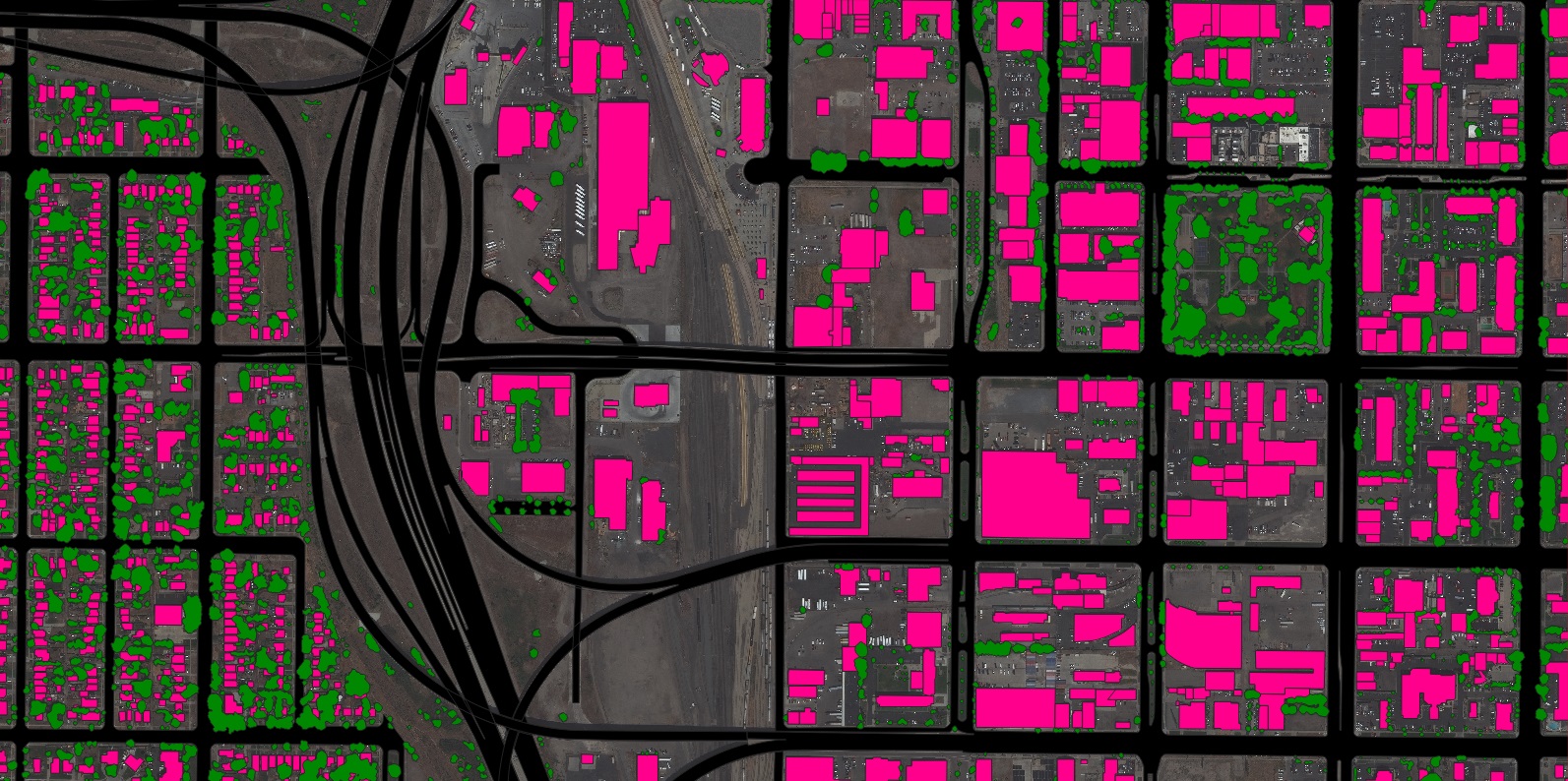
  • Development of water, wastewater, and stormwater infrastructure that contributes to EU environmental objectives.

  • Projects for the protection and restoration of biodiversity and soil, including green infrastructure and nature-based solutions for water management.

  • Enhanced energy efficiency projects in the water and wastewater sector.

  • Seawater desalination, aquifer recharge, alternative water supply, and water recycling projects.

  • Climate change adaptation and disaster resilience projects, including those for drought prevention and flood mitigation.

  • Development and deployment of innovative environmental technologies, including advanced geospatial data acquisition and management systems.

  • Activities covering the entire project cycle, including:

    • Development phase: planning, preliminary studies, feasibility analyses, engineering, design, and environmental assessments.

    • Construction phase: reconstruction, rehabilitation, and replacement activities.

    • Associated costs: land acquisition, environmental mitigation, equipment purchase, and capital issuance expenses.

How to Apply for InvestEU

The application process for InvestEU is managed through its implementing partners, primarily the European Investment Bank (EIB) and other national promotional banks.

  1. Project Proposal: Prospective borrowers must first submit a project proposal or an inquiry directly to an implementing partner, such as the EIB.

  2. Due Diligence and Approval: If the project is deemed suitable, the implementing partner will conduct a thorough appraisal, including credit, legal, and technical due diligence. Following a successful appraisal, the investment committee will make a final decision.

Nazru’s climate resilience team can help you scope an infrastructure project using geospatial data. Get in touch here.


EU Civil Protection Mechanism – UCPM (Prevention & Preparedness)

The Union Civil Protection Mechanism (UCPM) provides grants to strengthen resilience and reduce the impacts of natural disasters within EU member states and participating states. A key component is funding for prevention and preparedness projects to foster greater community resilience and cross-border cooperation.

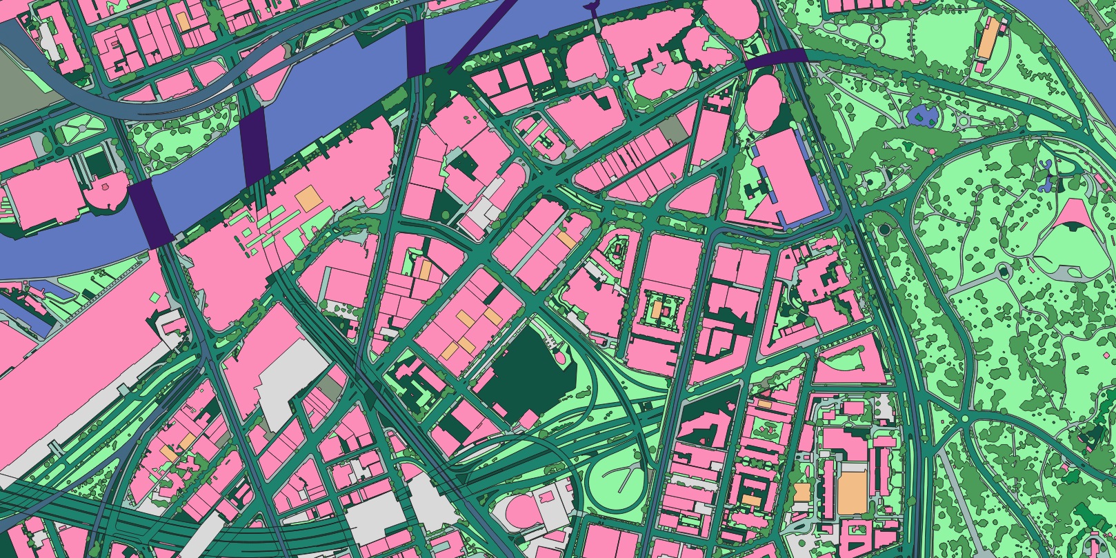
A core tenet of UCPM prevention funding is to support innovation and capability-building in disaster risk management. There are many ways to leverage these grants for geospatial data to achieve this goal. For example, high-resolution hazard mapping and land cover data can be funded to help governments better understand, model, and mitigate the risks of wildfires, droughts, floods, and other natural disasters.

Co-financing is typically required for UCPM grants. The standard EU co-financing rate can be up to 70-90% of the total eligible project costs, depending on the specific call for proposals and the nature of the project.

UCPM Eligibility

National, regional, and local authorities of participating states, as well as relevant international and non-governmental organisations, may apply for UCPM prevention and preparedness grants.

Applicants must demonstrate that the project contributes to Union-level priorities in disaster risk management. Projects are expected to have a clear cross-border benefit or involve the transfer of knowledge and best practices.

Projects eligible for UCPM grant funding include:

  • Risk assessment and mapping activities.

  • Awareness-raising and training programmes.

  • Development of forecasting, early warning, and monitoring systems.

  • Measures to reinforce coordination and communication between civil protection authorities.

How to Apply for a UCPM Grant

Funding is typically allocated through annual calls for proposals published by the European Commission’s Directorate-General for European Civil Protection and Humanitarian Aid Operations (DG ECHO). Interested applicants must submit their proposals via the EU’s designated funding portals.

The Nazru team has extensive experience in disaster risk management and applying for EU grants. Get in touch and we can help you apply for UCPM funding.


EU Cohesion Fund (Water Sector Focus)

The Cohesion Fund, a key instrument of EU regional policy, allocates significant resources for investments in environmental infrastructure, including stormwater management. It supports projects that help member states comply with EU environmental directives, such as the Water Framework Directive.

The fund is intended to help regions manage urban stormwater issues, such as pollution, runoff, and other environmental or public health concerns. Geospatial data representing impervious surfaces and other critical land cover features may be acquired with Cohesion Fund financing if it is an integral part of an eligible project, such as the planning and implementation of Sustainable Urban Drainage Systems (SUDS).

 A sample of detailed land cover data extracted by Nazru in Orlando, Florida, USA, a valuable input to infrastructure development and planning

Building
Pavement
Driveway
Grass
Forest
Road
Sidewalk
Parking
Sport-ground
Water
Swimming-pool

EU Cohesion Fund (Water Management Focus) – Eligibility

Member States and their designated Managing Authorities are eligible to apply for Cohesion Fund allocations to finance projects in the water sector. These funds are then distributed to regional and local authorities (municipalities) for the planning, design, and construction of water infrastructure.

Examples of eligible projects under the Cohesion Fund include:

  • Management of Urban Waste Water: Projects to comply with the Urban Waste Water Treatment Directive, including the management of combined sewer overflows (CSOs) and stormwater discharges.

  • Green Infrastructure and Nature-Based Solutions: Implementation of Sustainable Urban Drainage Systems (SUDS) and other best management practices (BMPs) to manage, treat, and recapture stormwater.

  • Integrated Water Resource Management: Initiatives that facilitate coordinated management of surface water, groundwater, and stormwater resources on a river basin or sub-basin level, in line with the Water Framework Directive.

  • Watershed Partnership Projects: Cooperative projects that address diffuse pollution to reduce adverse impacts on water quality.

  • Municipality-Wide Stormwater Planning: Strategic planning to identify the most effective placement of stormwater technologies and management approaches across an entire municipality.

  • Climate Resilience of Infrastructure: Projects that increase the resilience of water treatment works to man-made or natural disasters, such as extreme weather events.

Allocation Priorities: Member States are required to prioritize funding for less-developed regions and disadvantaged communities. A significant portion of the fund is often directed towards green infrastructure, innovation in environmental technologies, and improving resource efficiency. Administrative costs are capped, and specific allocations for rural areas are common in national operational programmes.

How to Apply for Cohesion Funds

The application process is decentralised and managed at the national level.

  1. National Operational Programmes: Each Member State, in cooperation with the European Commission, develops an Operational Programme outlining investment priorities.

  2. Application through Managing Authorities: Interested applicants (municipalities, public bodies) must submit project proposals through the designated Managing Authority in their country. There is no single EU-wide portal like Grants.gov; each country has its own application system.

  3. Required Documentation: A complete application typically includes a detailed application form, a comprehensive work plan, a full budget breakdown, a cost-benefit analysis, and an environmental impact assessment where required.

The closing date for the current Cohesion Fund programming period (2021-2027) is December 31, 2027. If you have questions about applying for Cohesion Fund support for geospatial data, reach out to Nazru’s dedicated climate resilience team. We are happy to help discuss the data requirements for eligible projects.


EU Solidarity Fund (Climate Adaptation Focus)

Also overseen by the European Commission, the EU Solidarity Fund (EUSF) provides financial assistance for emergency and recovery operations in the wake of natural disasters. While primarily reactive, its scope supports strengthening disaster resilience, aligning with broader EU climate adaptation goals.

Geospatial data, such as high-resolution elevation models and land cover classifications, can be crucial for EUSF-funded projects. This data informs decision-making related to flood modeling, impervious surface mapping, runoff calculations, and the planning of protective infrastructure. EUSF grants typically require co-financing from the recipient state, with the EU contribution calculated based on the scale of the disaster and the country’s economic capacity.

EUSF Grant Eligibility

Member States and accession countries affected by a major natural disaster are eligible to apply for EUSF grants. An application must be submitted by the national government of the affected country.

Eligible expenditures for EUSF funding include:

  • Emergency and Recovery Operations: Restoring infrastructure and providing emergency services to the affected population.

  • Essential Prevention Measures: Financing operations to reinforce infrastructure and implement preventive measures against future disasters, based on detailed risk assessments.

  • Technical Assistance: Project scoping, including data sourcing and feasibility studies for recovery and prevention projects.

  • Clean-up and Rehabilitation: Costs associated with returning the affected area to a habitable state.

How to Apply for an EUSF Grant

The application process is initiated at the national level following a major disaster.

  1. Formal Application: The affected national government must submit a formal application to the European Commission within 12 weeks of the disaster’s first occurrence.

  2. Coordination: The application is prepared in coordination with relevant national ministries and regional authorities.

  3. Commission Assessment: The European Commission assesses the application and, if approved, proposes a funding amount to the European Parliament and Council for adoption.

Nazru is here to help. If you require geospatial data to support the development of a robust EUSF application or for post-disaster planning and prevention projects, let us know. Our team can provide the critical data needed to build a compelling case for funding.

 A sample of land cover data produced by Nazru in Washington, detailing impervious and pervious features for use in climate resilience planning

Building
Pavement
Driveway
Grass
Tree-canopy
Road
Sidewalk
Parking
Sport-ground
Water
Bridge
Railway
Bareland

Union Civil Protection Mechanism (UCPM) – Prevention & Preparedness Grant

The Union Civil Protection Mechanism (UCPM), overseen by the European Commission’s Directorate-General for European Civil Protection and Humanitarian Aid Operations (DG ECHO), provides funding to bolster prevention, preparedness, and response capabilities for all types of natural and man-made hazards. This funding enables national, regional, and local civil protection authorities across EU Member States and participating countries to enhance their operational capacity and work towards the common goal of a more resilient Europe.

Many emergency management agencies are now leveraging geospatial data and mapping to optimize resource deployment, model disaster impacts, and improve situational awareness during crises. Funding from the UCPM’s prevention and preparedness strand can be used to source, develop, or maintain the critical geospatial databases required for these advanced capabilities.

UCPM Eligibility

All EU Member States and countries participating in the UCPM are eligible for these grants. Typically, a single national authority (such as a Ministry of the Interior or a national civil protection agency) is designated to coordinate and submit applications on behalf of the country. Interested regional or local entities must coordinate their applications through this national authority.

Projects eligible for UCPM prevention and preparedness funding are designed to improve capabilities in areas such as:

  • Risk assessment, mapping, and analysis

  • Early warning systems

  • Preparedness and response planning

  • Training and exercises

  • Public awareness and communication

  • Operational coordination and cooperation

  • Logistics and supply chain management for emergency response

  • Strengthening community resilience

These initiatives directly support the UCPM’s overarching goals of fostering a culture of prevention, enhancing cross-border cooperation, and building collective resilience against disasters. Learn more about eligible projects through the DG ECHO website.

How to Apply for a UCPM Grant

Funding is allocated through annual calls for proposals published by the European Commission. Applications are submitted electronically via the EU’s Funding & Tenders Portal.

Nazru has extensive experience supporting public authorities in applying for EU funding. Let our team guide you through the application process – get in touch here.


Comprehensive Land Cover Data for Climate Resilience & Infrastructure Management

Effectively planning, developing, and managing climate-resilient infrastructure requires reliable, high-precision geospatial data. At Nazru, we leverage advanced AI to extract comprehensive, accurate, and up-to-date land cover features from the most recent geospatial imagery. The resulting mapping products provide governments and organizations with a foundational source of truth for environmental planning, supporting critical applications funded by EU programmes.

Examples of land cover features Nazru provides for environmental and infrastructure management include:

  • Impervious Surfaces: Buildings, Roads, Pavement, Railways

  • Pervious/Natural Surfaces: Tree Canopy, Shrubs, Grass, Bare Soil

  • Water Bodies: Rivers, Lakes, Coastal Waters

  • Anthropogenic Features: Swimming Pools, Sports Grounds, Industrial Areas

…and any other feature visibly discernible in geospatial imagery from satellites, airplanes, and drones.

To see how one European municipality is leveraging Nazru data for its environmental compliance and climate adaptation strategies, check out our case study. When you’re ready to explore EU funding opportunities for Nazru data, set up a meeting with our climate resilience team.