
Discover Excellence
Leading in Aerial Mapping
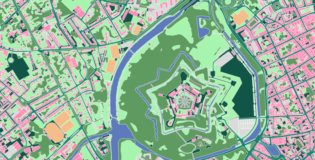
At NAZRU, we harness the power of AI to provide precise aerial mapping and digital twinning solutions. Our services enhance your projects with unparalleled accuracy and detail. Explore how we can help transform your vision into reality.
Our Offerings
Expert Solutions for Your Mapping Needs
At NAZRU, we specialize in cutting-edge aerial mapping services, utilizing advanced AI technology to deliver remarkable precision. Our digital twinning solutions provide detailed insights, allowing your projects to come to life with clarity and depth.
Service Highlights
Accurate Aerial Mapping with Advanced AI
Key Features
Transforming Projects with Digital Twinning
Detailed Overview of Our Services
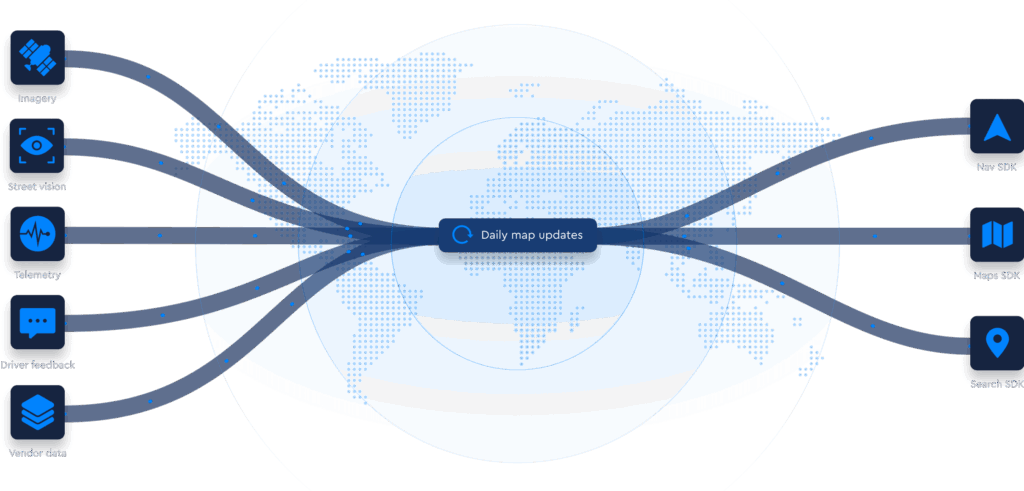
Our aerial mapping services are designed to provide you with accurate and insightful data. We focus on delivering essential information that enhances your projects. Our approach involves using AI technology to ensure high precision and efficiency, translating data into actionable insights. With web GIS capabilities, you can easily manage and visualize complex datasets, empowering you to make informed decisions swiftly.
Get in Touch with Us
At NAZRU, we are here to assist you with our aerial mapping and digital twinning services. If you have any questions or would like to request a quote, please fill out the form below. We look forward to connecting with you.
By submitting your information, you agree to our Terms and Conditions.
Frequently Asked Questions
Explore Common Questions About Our Services
Got more questions in mind?
We understand that you may have specific inquiries regarding our aerial mapping and digital twinning services. This section aims to clarify any uncertainties you might have. Our goal is to provide clear information that assists you in making informed decisions.
We provide precise aerial mapping and digital twinning solutions. Our services utilize advanced AI technology to ensure high accuracy and detailed insights to support your projects.
We prioritize precision in our mapping solutions. Our AI-driven technology ensures that the data provided is highly accurate, enabling you to rely on our insights for effective decision-making.
Digital twinning involves creating a virtual replica of physical assets or processes. Our technology allows for an interactive representation that helps in visualizing data and understanding project dynamics better.
To receive a quote for our services, please fill out our contact form. Provide details about your project requirements, and we will respond promptly with the necessary information.
We serve a wide variety of industries, including construction, urban planning, and environmental analysis. Our services are adaptable to meet the needs of diverse sectors requiring geographical insights.