Nazru’s AI platform was deployed to automatically detect and classify road surface damages into three distinct categories: cracks, patches, and seams. This project enabled a scalable, data‑driven approach to road maintenance planning and asset management.
The Challenge
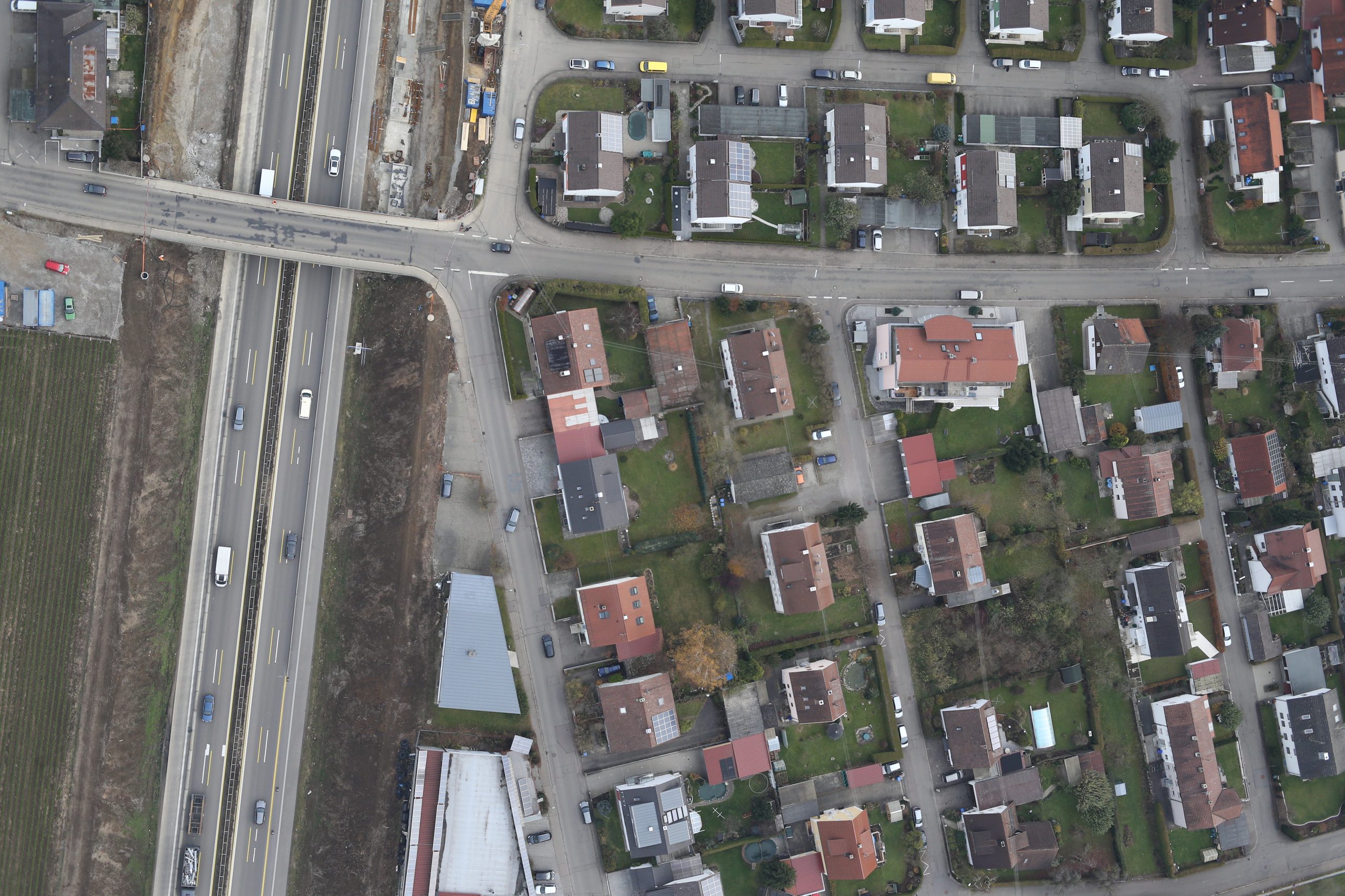
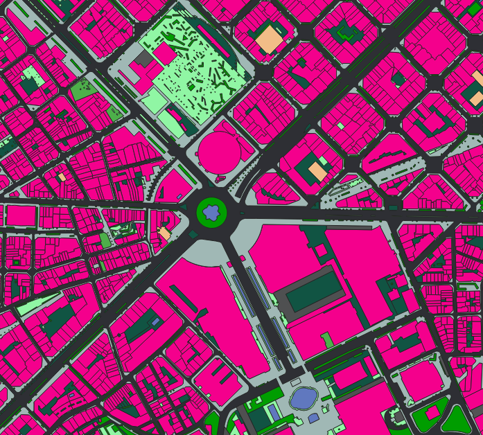
The client lacked a systematic, up‑to‑date inventory of road distresses. Manual inspection was time‑consuming, subjective, and posed safety risks for field crews. There was no automated method to distinguish between different damage types (cracks, patches, and seams) or to assess their location and extent across the road network.
The Nazru Solution
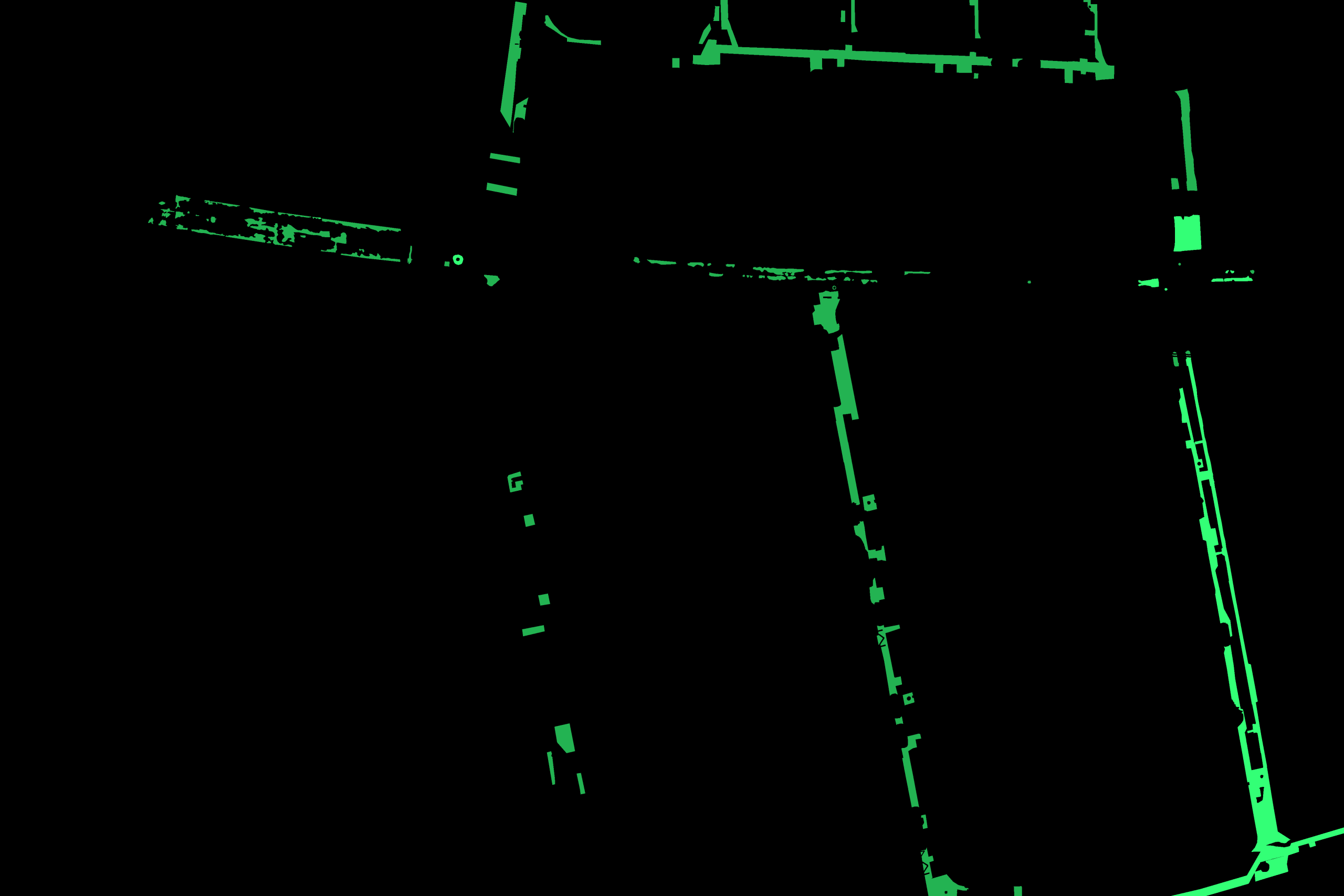
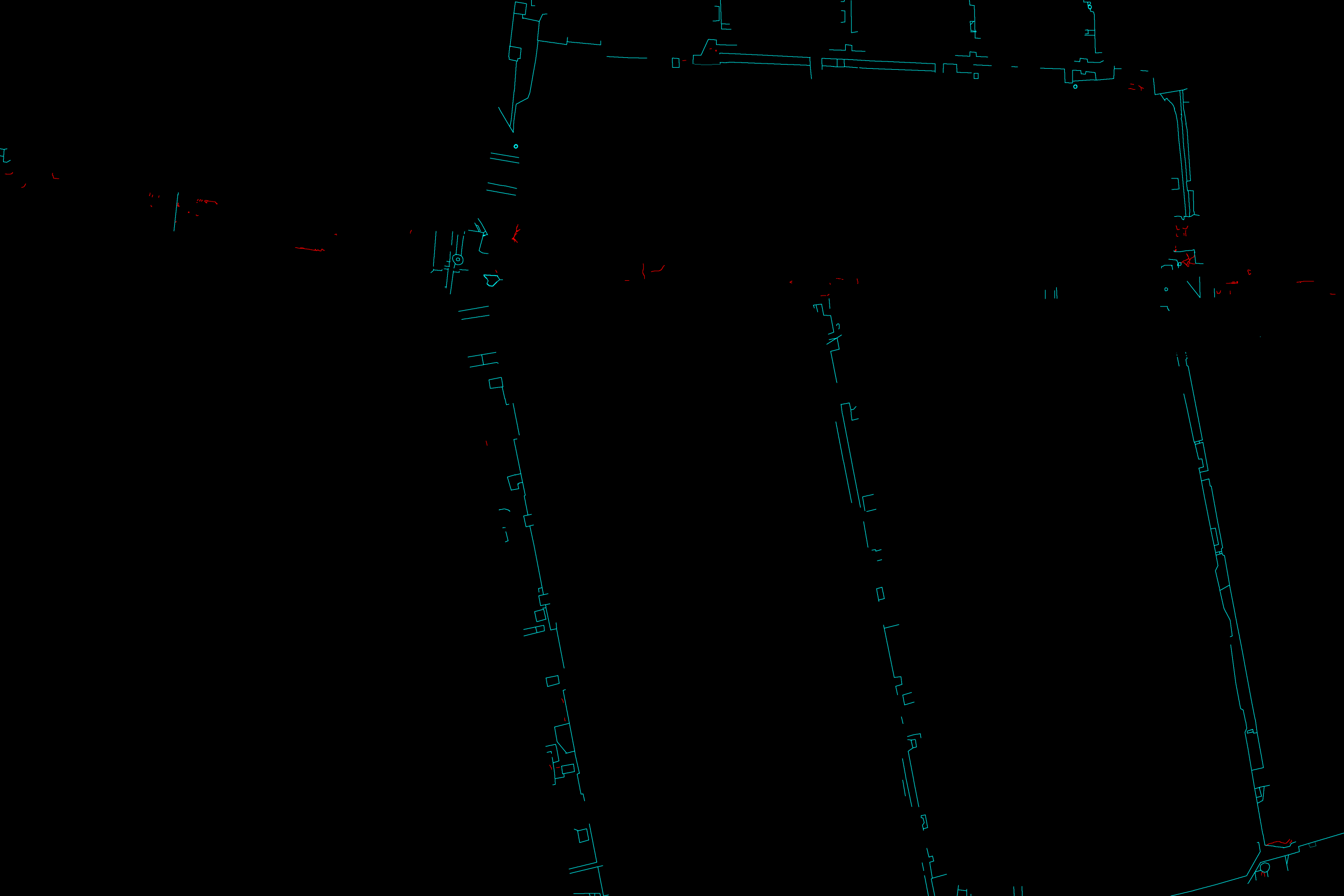
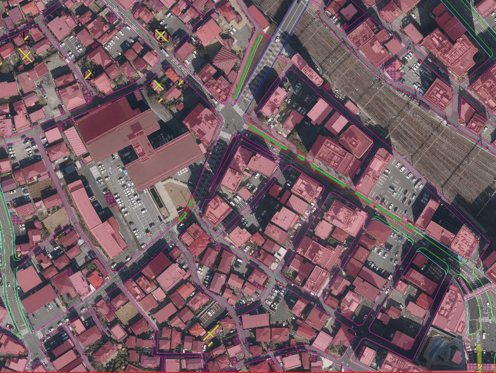
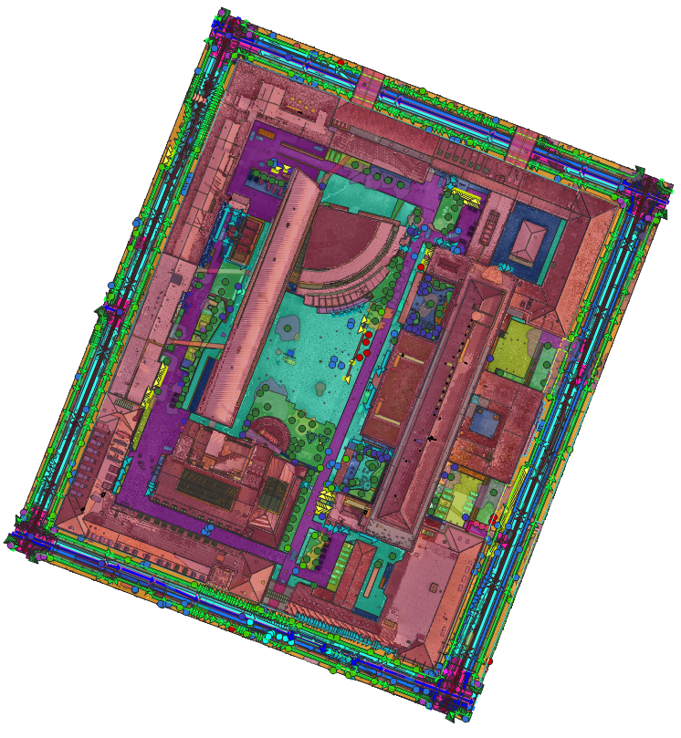
Nazru’s platform integrated high‑resolution aerial or mobile mapping imagery with deep learning models. Our algorithms automatically detected and classified the following three damage types:
Cracks – typical fatigue cracks, transverse cracks, edge cracks, or random cracking patterns
Patches – areas where the road surface has been repaired, overlaid, or filled
Seams – longitudinal construction joints or working cracks, often appearing along lane boundaries or previous pavement joints
Each damage instance was geolocated and its extent mapped for further analysis.
Key Results & Benefits
Comprehensive digital inventory of road damages across the entire network
Clear separation of active cracks, repaired patches, and construction seams
Prioritised maintenance zones based on damage density and type