Leveraging AI-Powered Geospatial Data to Identify Transportation Infrastructure Gaps
Metropolitan Planning Organizations (MPOs) are pivotal in ensuring community safety and well-being by developing sustainable transportation networks. To navigate an evolving landscape and proactively address community needs, forward-thinking MPOs are increasingly turning to advanced technologies. This is exemplified by the Southeast Michigan Council of Governments (SEMCOG), which is leveraging artificial intelligence (AI) to enhance its regional planning.
This analysis examines how SEMCOG utilized AI-powered geospatial data to identify critical infrastructure deficiencies, such as unmarked crosswalks and limited sidewalk access. By adopting a strategic, data-driven methodology, SEMCOG developed targeted interventions to foster a safer and more equitable community.
The Transformative Impact of AI-Powered Geospatial Data
Envision a transportation planner analyzing high-resolution digital maps to pinpoint gaps in pedestrian infrastructure and plan new bicycle lanes that enhance neighborhood connectivity. This scenario is now a reality, as innovative organizations harness AI-driven geospatial data to revolutionize transportation planning. This technology empowers data-informed decision-making, fundamentally shaping the future of community infrastructure.
A Pioneering Initiative: SEMCOG’s Vision for Safer Streets
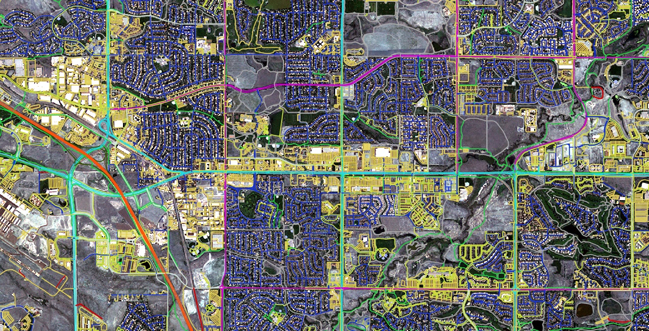
MPOs are instrumental in designing safer and more efficient transportation systems amidst challenges like population growth, diverse mobility demands, and sustainability objectives. SEMCOG has distinguished itself as a leader by adopting cutting-edge AI-powered mapping data, gaining an unprecedented, detailed understanding of its region’s transportation network.
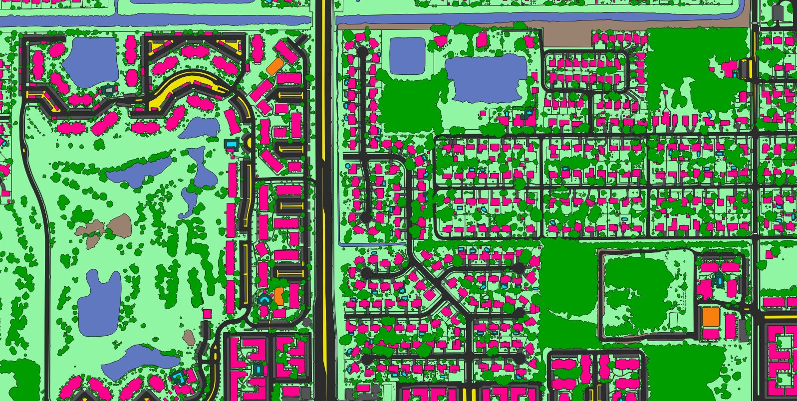
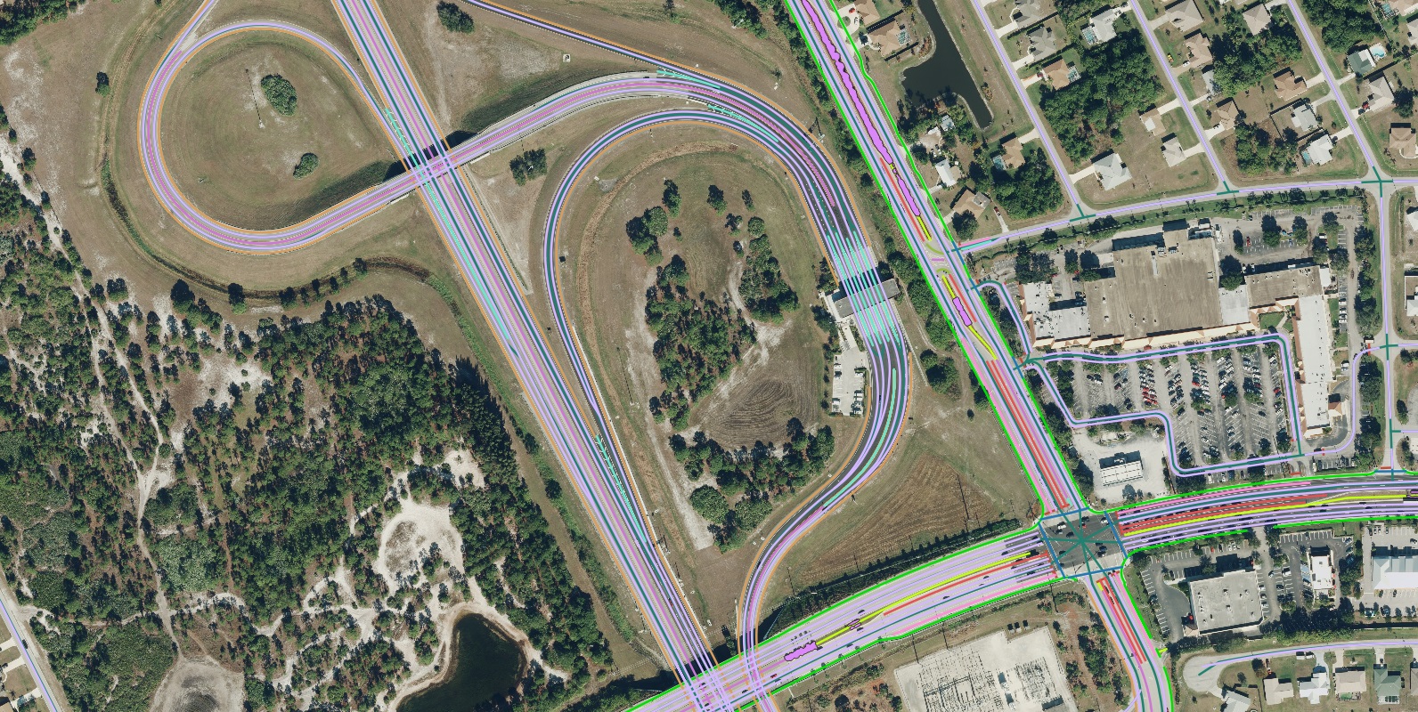
This approach provides a high-definition perspective of transportation assets, revealing critical details like curbs, crosswalks, and sidewalks with exceptional accuracy. The outcome is a measurable enhancement in accessibility and safety, directly benefiting the region’s 4.8 million residents.
The Limitations of Traditional Data Collection Methods
Historically, MPOs have relied on geospatial data for planning, with information on sidewalks and crosswalks being crucial for compliance with regulations such as the Americans with Disabilities Act (ADA). Traditionally, acquiring this data involved manually digitizing features from aerial imagery—a process that, while effective for small areas, becomes prohibitively labor-intensive and time-consuming at a regional scale.
Manually digitizing thousands of miles of infrastructure is an unsustainable task. As communities evolve, these manual methods struggle to keep pace, leading to outdated data, reliance on estimations, and reactive planning. This inefficiency hinders the proactive solutions necessary to serve growing populations effectively.
Enhancing Efficiency with AI-Powered Geospatial Data
Modern AI-powered mapping technologies have revolutionized this process, eliminating the need for extensive manual digitization. team Nazru deliver highly precise vector data for transportation features—including crosswalks, sidewalks, and bike lanes—in a fraction of the time previously required. By automating feature extraction from high-resolution imagery, these systems provide comprehensive, up-to-date datasets across entire regions within weeks. This allows GIS professionals to shift their focus from tedious data collection to higher-value analysis and strategic innovation.
Driving Innovation with Advanced Data Analytics
Committed to enhancing mobility, safety, and economic development, SEMCOG serves as a model for other regions in adopting innovative solutions for sustainable planning outcomes. Serving nearly five million people across seven counties in Southeast Michigan, SEMCOG leveraged AI-powered geospatial data to advance its transportation planning initiatives. The following section details how this data was applied to assess the accessibility and safety of sidewalk networks, thereby improving the overall efficiency of the planning process.