Enhance your stormwater management strategy with high-precision land cover data
High-precision vector land cover data enables advanced geospatial analytics to support critical municipal functions, including stormwater management, Stormwater Utility Fee (SUF) calculation, flood modeling, and impervious surface mapping.
Leveraging artificial intelligence, Nazru’s mapping systems process satellite, aerial, and street-level imagery to generate highly accurate vector maps significantly faster than traditional manual digitization. This methodology produces comprehensive, reliable, and current geospatial data, which is trusted by hundreds of U.S. government agencies for strategic planning and decision-making.
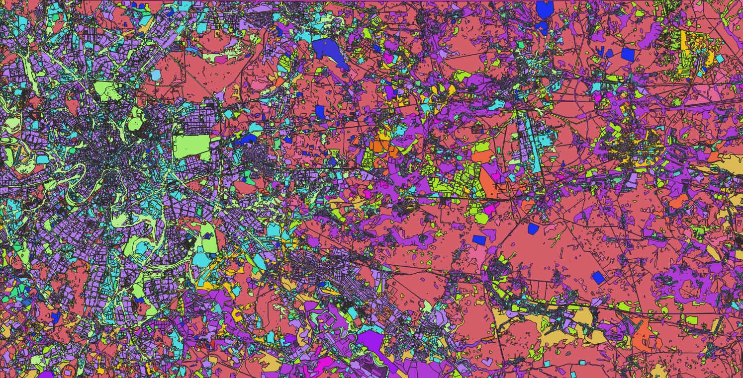
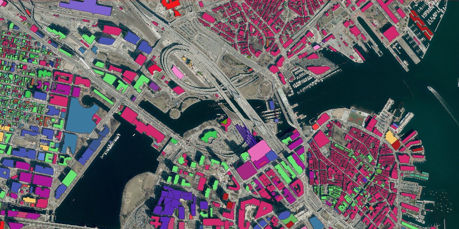
High-precision land cover vector data for geospatial analytics to support municipal stormwater management, SUF calculation, flood modeling, & impervious surface mapping by Nazru in California.
Building
Road
Driveway
Sidewalk
Parking
Water
sport-ground
Parcel
Review the provided sample dataset from California to envision how a comprehensive, accurate, and up-to-date municipal impervious surface database could optimize your stormwater management strategy.
For more information or to request a consultation, please do not hesitate to contact our team of experts. We are ready to assist you in leveraging this powerful data to meet your specific stormwater management objectives.