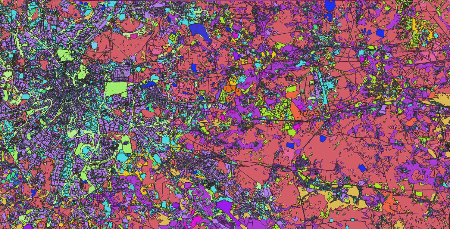
A Granular Inventory of Key Locations: Our Point Feature Classes
The true power of this dataset lies in its granularity. We have meticulously digitized and classified a comprehensive inventory of point features, including but not limited to:
Transportation & Mobility:
airport, bus_station, railway_station, parking
Settlements & Administrative:
national_capital, city, town, village, suburb, hamlet, locality
Public Services & Critical Infrastructure:
hospital, fire_station, police, prison, college, cemetery, recycling, wastewater_plant, water_well
Tourism, Leisure & Commerce:
marina, beach, camp_site, caravan_site, castle, monument, park, pitch, playground, hotel, lighthouse, mall, market_place
Driving Sector-Specific Innovation with Actionable Data
This integrated dataset, combining infrastructure lines with precise POIs, is engineered to deliver transformative solutions:
1. Insurance: Enhanced Risk Modeling & Claims Response
Use hospital and fire_station locations to refine response time analytics for property risk assessment.
Identify high-value commercial clusters using mall and market_place points for portfolio management.
Model secondary risks by analyzing proximity to specific POIs like industrial zones or water_wells.
2. Municipal & State Government: Smarter Urban Management
Optimize public service delivery by analyzing the distribution of facilities like hospitals, colleges, and recycling centers against population centers (city, town, suburb).
Plan emergency evacuation routes using the road network with safe zones like parks and playgrounds.
Manage tourism and cultural heritage by monitoring assets marked as castle, monument, and museum.
3. Civil Engineering: Informed Project Planning & Logistics
Conduct optimal site selection for new projects by evaluating proximity to quarries, railway_stations, and motorway access points.
Plan worker logistics and temporary facilities (camp_site) based on the location of key POIs.
Ensure compliance and avoid conflicts with protected sites or existing infrastructure like water_plants and cemeteries.
4. Telecommunications: Strategic Network Deployment
Identify high-demand zones for network capacity by analyzing concentrations of hotels, malls, and residential areas (suburb, hamlet).
Plan the placement of new cell towers by analyzing line-of-sight to locality points and ensuring coverage along trunk and primary roads.
Use park and playground points for community Wi-Fi planning initiatives.
The Nazru Advantage: From Data to Decision
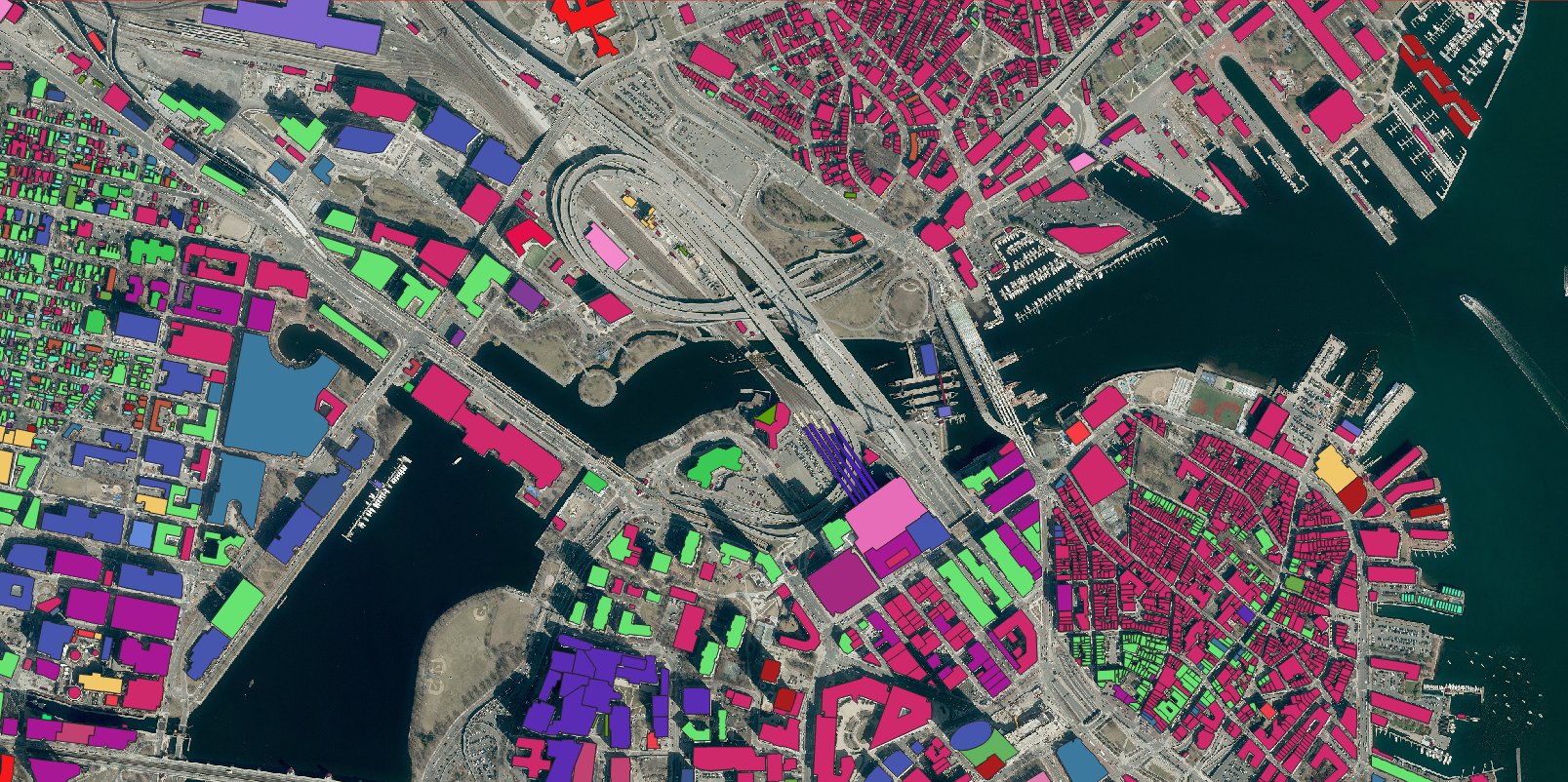
The Nazru Moscow Dataset is a ready-to-deploy geospatial solution. The pre-classified, structured vector data—encompassing polygons, lines, and a vast catalog of points—integrates seamlessly into your existing GIS, spatial analytics platforms, and custom applications, eliminating the need for costly and time-consuming in-house data processing.
Transform your understanding of Moscow’s urban landscape. Contact Nazru today to request a customized data sample or to schedule a demo with our geospatial experts.