The Digital Twin Imperative: Geoenabling Resilience, Planning, and Analytics Across Industries
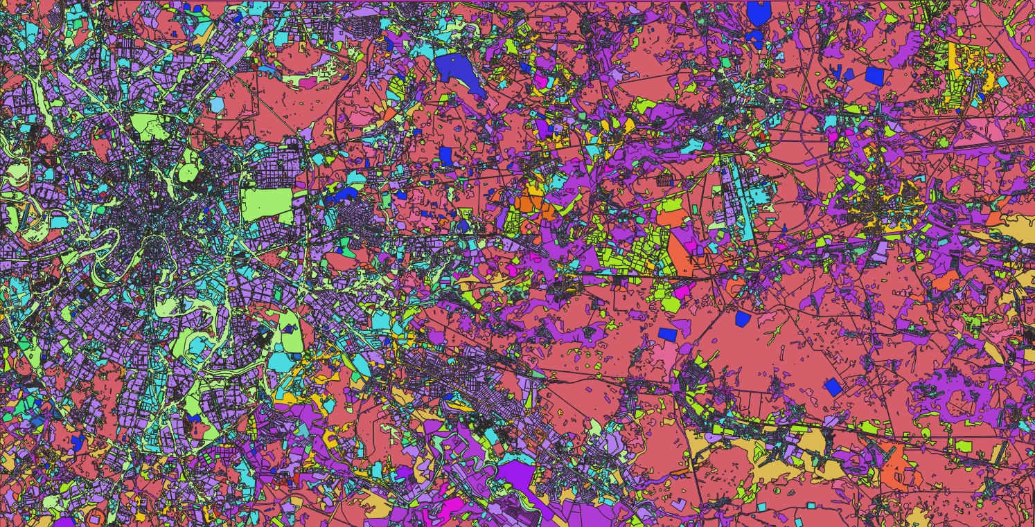
Geospatial data is fundamentally transforming strategic decision-making across a range of industries by providing a precise, location-based context for critical challenges. The overarching theme is “geoenabling”—empowering professionals with accurate, accessible data to move from anecdotal evidence to data-driven strategies. While the applications are diverse, they share a common reliance on high-quality geospatial information to build resilience, optimize operations, and manage risk.
Climate Resilience
In the face of climate change, geospatial data is pivotal for building community resilience. The focus is on integrating diverse, high-quality data layers—such as high-precision land cover—to conduct critical climate analysis. This enables the identification of vulnerabilities like climate inequality and informs the development of robust strategic plans to protect coastal and other at-risk communities, ensuring that decisions are based on comprehensive and accurate environmental intelligence.
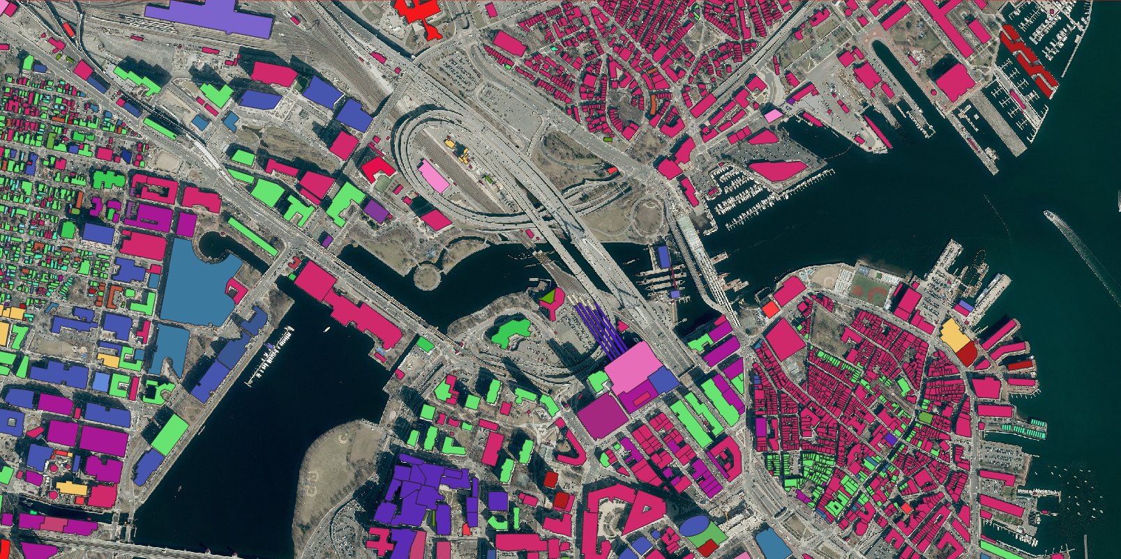
Transportation Planning
For transportation and smart city initiatives, geospatial analytics are key to fostering safer, smarter, and more sustainable communities. The industry is leveraging high-precision data not only for technical analysis, such as optimizing traffic flow and infrastructure placement, but also as a communicative tool to effectively convey planning strategies to non-technical stakeholders and the public, thereby bridging the gap between complex data and actionable public policy.

A digital twin in action: This implemented project in Gravelines, France turns geospatial data into strategic insight. By modeling a city’s transportation and land cover, it enables traffic simulation and sustainable planning, showcasing the power of geoenabling.
Insurance Analytics
The insurance sector is increasingly utilizing geospatial data to move beyond generalized risk assessment towards precise, property-level evaluation. By analyzing multiple layers of geocoded information, carriers can derive accurate risk profiles for individual properties. This precision allows them to optimize their strategies in high-risk areas, overcoming challenges of data redundancy and poor literacy by working from a shared, reliable “digital source of truth.”
Telecommunications
In telecommunications, geospatial data literacy is critical for strategic network planning and expansion. Companies are creating geospatial digital twins of their networks to identify new market opportunities, monitor infrastructure health, and improve customer experience. As broadband expansion becomes a priority, accurate datasets are indispensable for effectively allocating resources and bridging the digital divide, ensuring that network development is both efficient and data-informed.

ThisSample of a Youngstown, Ohio, USA, developed by Nazru, demonstrates how geospatial data powers smarter decision-making.
Tree-canopy ****
The future of the geospatial industry
The trajectory of the geospatial industry indicates a growing reliance on location-based insights by professionals outside of traditional GIS disciplines. As diverse sectors increasingly integrate geospatial data and analytics into a wide array of applications, enhancing geospatial literacy and ensuring access to reliable datasets become imperative for maintaining analytical integrity. Nazru is committed to delivering high-precision datasets to empower any professional seeking to make data-driven decisions. To discover how our solutions can enable your organization to harness the power of geospatial data, please contact our team.