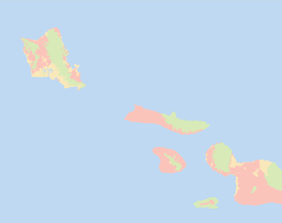
Land Cover Classification – Armenia (10m Satellite Imagery)
Project Overview
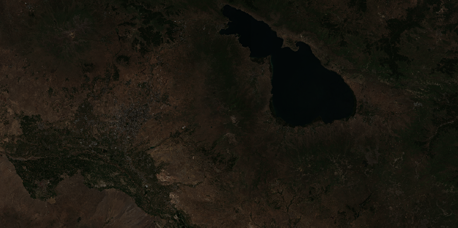
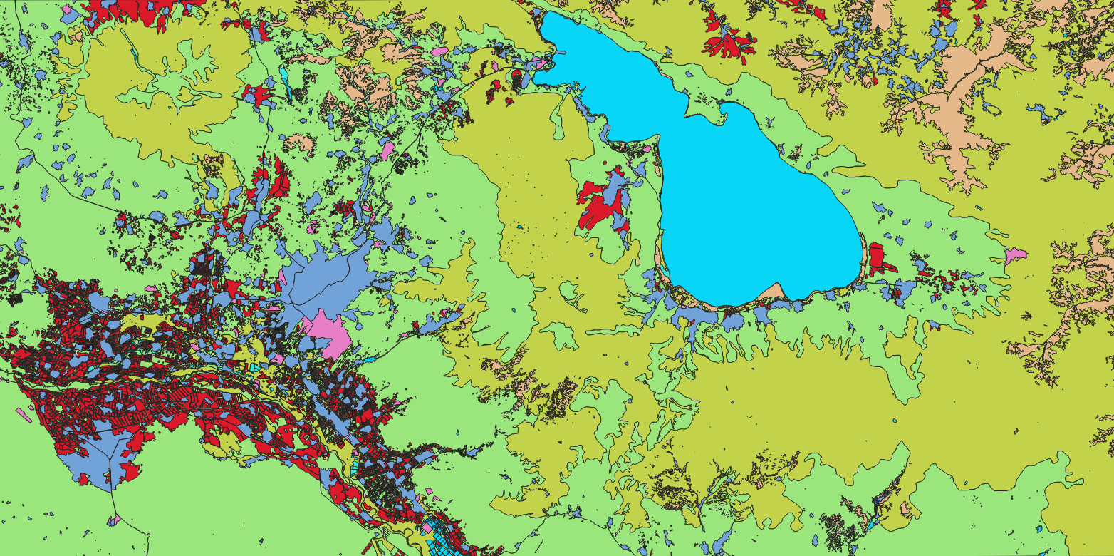
Nazru’s AI platform was deployed to classify land cover over a region near Yerevan, Armenia, using 10‑metre resolution satellite imagery. The project involved mapping the area into nine distinct classes: bare_soil, cultivated_crops, forest, industrial, transportation, urban_built, water, wetland, and wild_grass. The output supports environmental monitoring, agricultural planning, and urban development assessment.
The Challenge
Classifying land cover from medium‑resolution satellite data (10m) presents several difficulties:
Spectral mixing – individual pixels often contain multiple surface types (e.g., urban with trees, wetland with water and grass).
Similar spectral signatures –
wild_grassandcultivated_cropsmay appear similar, especially in early growth stages;bare_soilandindustrialcan share similar reflectances.Limited spatial detail – small features (e.g., narrow transportation corridors, small water bodies) may be difficult to resolve at 10m resolution.
Cloud cover and atmospheric effects – common in satellite imagery, affecting classification accuracy.
Seasonal variations – the area near Yerevan experiences distinct seasons, affecting vegetation and water levels.
The Nazru Solution
Nazru’s platform integrated multi‑spectral satellite bands (visible, near‑infrared, shortwave‑infrared) with a deep learning model for semantic segmentation (e.g., U‑Net, DeepLabV3+). Our pipeline:
Pre‑processing – atmospheric correction, resampling, and cloud masking.
Classification – pixel‑wise assignment of each of the nine classes using a model trained on diverse landscapes.
Post‑processing – conversion of raster masks to clean polygons for GIS use, with noise removal and minimal mapping unit (MMU) filtering.
Accuracy assessment – validation against high‑resolution reference data or ground truth.
Class definitions:
| Class | Description |
|---|---|
bare_soil | Unvegetated soil, sand, or rock surfaces |
cultivated_crops | Active agricultural fields, orchards, vineyards |
forest | Dense tree cover (natural or planted woodland) |
industrial | Factories, warehouses, industrial zones |
transportation | Roads, railways, airports, and other transport corridors |
urban_built | Residential, commercial, and mixed‑use built‑up areas |
water | Lakes, reservoirs, rivers, and streams |
wetland | Marshlands, swamps, or seasonally inundated areas with water‑tolerant vegetation |
wild_grass | Natural grasslands, meadows, or steppe vegetation (non‑agricultural) |
Key Results & Benefits
First‑time detailed land cover map for the Yerevan region using 10m Sentinel‑2 imagery.
Clear separation of natural vs. human‑modified landscapes – urban, industrial, transportation, agriculture, forest, grass, wetland, water, and bare soil.
Supports multiple applications – agricultural yield forecasting, urban sprawl monitoring, wetland conservation, and environmental impact assessment.
Scalable – the same model can be applied to adjacent regions or time‑series data to detect seasonal or annual changes.
GIS‑ready outputs – polygons with class attributes and area measurements.
Key Technologies Used
Semantic segmentation with deep learning (U‑Net / DeepLabV3+) for pixel‑wise classification.
Multi‑spectral feature engineering – NDVI, NDWI, and other indices to separate vegetation, water, and bare surfaces.
Polygon vectorisation – conversion of raster masks to clean, topologically correct polygons.
Atmospheric correction – using Sen2Cor or equivalent pre‑processing.