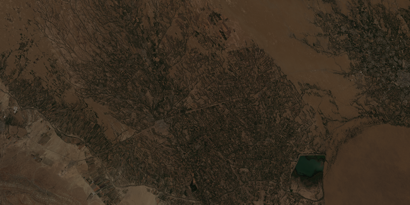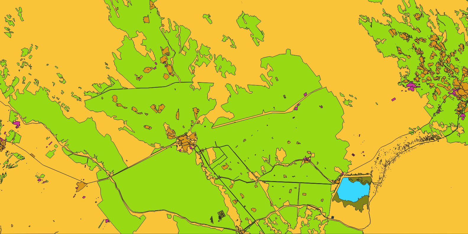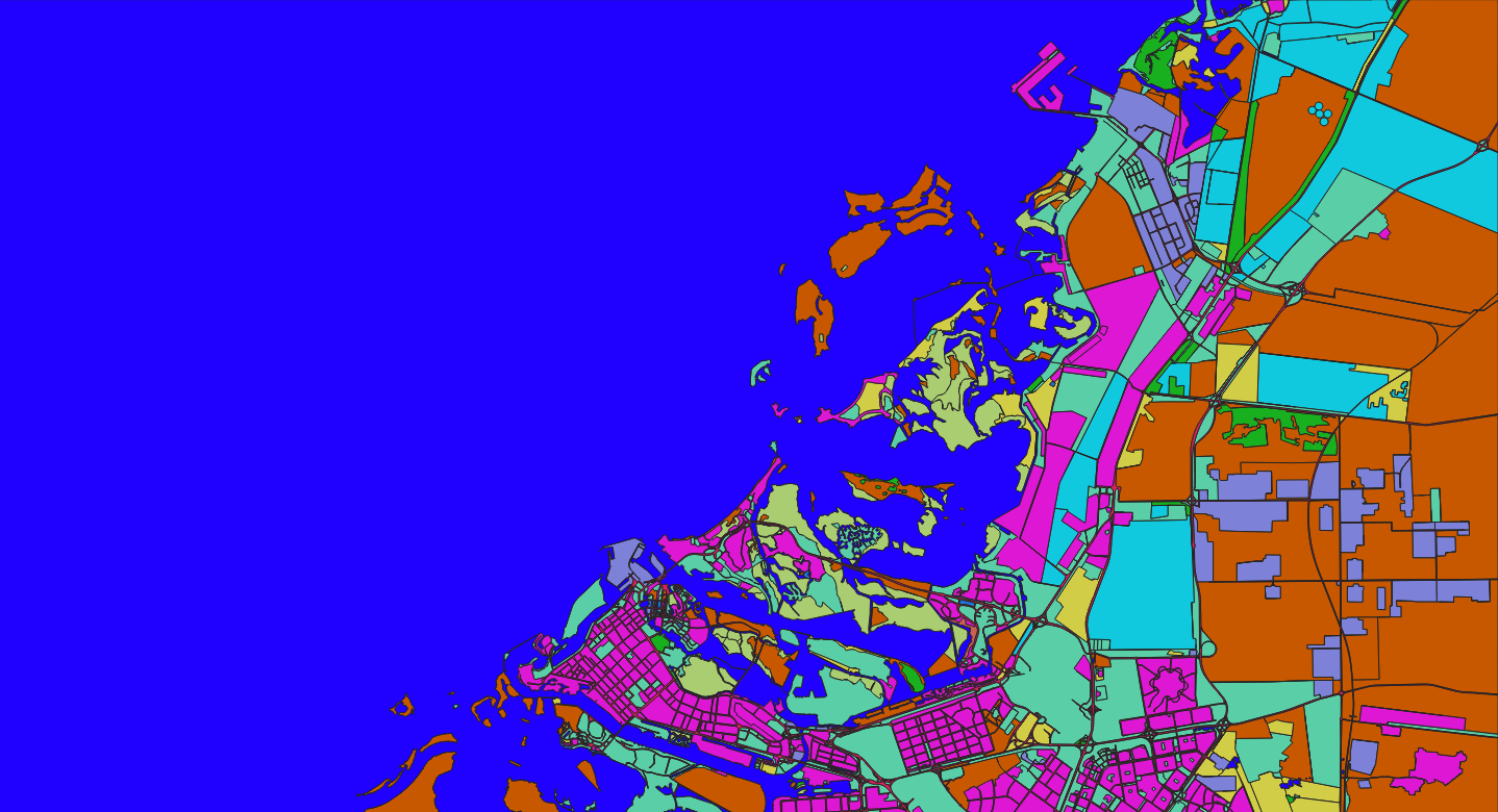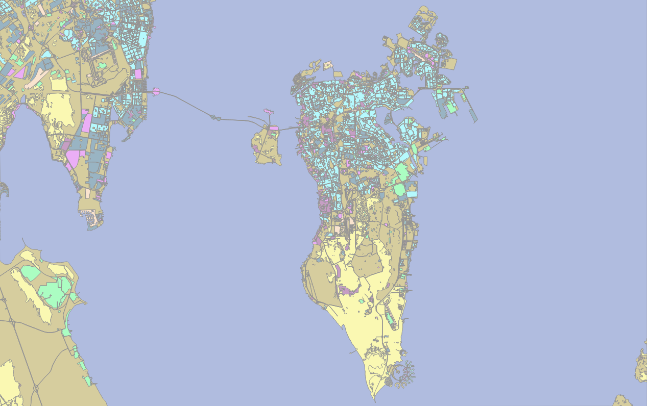
Land Cover Classification – Turkmenistan & Surrounding Areas (10m Satellite Imagery)
Project Overview
Nazru’s AI platform was deployed to classify land cover across Turkmenistan and its surrounding regions using 10‑metre resolution satellite imagery. The project mapped the area into nine distinct classes: bare_soil, cultivated_crops, forest, industrial, transportation, urban_built, water, wetland, and wild_grass. The output supports environmental monitoring, agricultural assessment, and sustainable development planning in this arid and semi‑arid region.
The Challenge
Classifying land cover over Turkmenistan and its surroundings from 10m satellite data presents unique challenges:
Arid and desert landscapes – vast areas of bare soil and sand (Karakum Desert) dominate, with low vegetation cover.
Water scarcity – limited water bodies (Caspian Sea, Amu Darya River, reservoirs); seasonal rivers may be dry for much of the year.
Agricultural patterns – irrigated agriculture along rivers (e.g., Amu Darya) and oases; cotton, wheat, and other crops with distinct seasonal cycles.
Spectral similarity –
bare_soilandwild_grass(in dry seasons) can be difficult to separate;wetlandandwatermay be seasonally variable.Urban and industrial areas – cities like Ashgabat, Türkmenabat, and Mary; industrial zones (gas and oil extraction).
Caspian Sea coastline – coastal wetlands, salt marshes, and seasonal fluctuations.
The Nazru Solution
Nazru’s platform integrated multi‑spectral satellite bands with a deep learning semantic segmentation model. The pipeline:
Pre‑processing – atmospheric correction, cloud masking, and resampling to consistent 10m resolution.
Classification – pixel‑wise assignment to one of nine classes using a model trained on arid and semi‑arid landscapes.
Post‑processing – raster‑to‑polygon conversion with noise removal and minimum mapping unit (MMU) filtering.
Accuracy assessment – validated against high‑resolution reference data or field surveys.
Class definitions (same as previous projects):
| Class | Description |
|---|---|
bare_soil | Unvegetated soil, sand dunes, salt flats, and rock surfaces |
cultivated_crops | Irrigated agriculture, cotton fields, orchards, and vineyards |
forest | Tree‑covered areas (limited to river valleys, mountains, and planted forests) |
industrial | Oil and gas extraction sites, factories, warehouses, and industrial zones |
transportation | Roads, railways, and transport corridors |
urban_built | Residential, commercial, and mixed‑use built‑up areas |
water | Caspian Sea, reservoirs, rivers, and canals |
wetland | Coastal marshes, river deltas, seasonal wetlands, and salt pans |
wild_grass | Natural steppe, grasslands, and semi‑desert vegetation (non‑agricultural) |
Key Results & Benefits
Comprehensive land cover map of Turkmenistan and surrounding regions at 10m resolution.
Clear separation of desert, agriculture, urban, industrial, transportation, water, wetland, forest, and grassland.
Supports:
Agricultural monitoring (crop types, irrigation efficiency).
Environmental conservation (desertification, wetland protection).
Urban and industrial planning (city expansion, oil/gas infrastructure).
Transboundary water resource management (Amu Darya, Caspian Sea).
Scalable – can be applied to time‑series data for seasonal and annual change detection.
GIS‑ready – polygon outputs with class attributes and area measurements.
Key Technologies Used
Semantic segmentation (U‑Net / DeepLabV3+) for pixel‑wise classification.
Multi‑spectral indices – NDVI, NDWI, SAVI, and custom indices for arid land discrimination.
Polygon vectorisation – clean, topologically correct polygons.
Atmospheric correction – using standard pre‑processing pipelines (e.g., Sen2Cor).