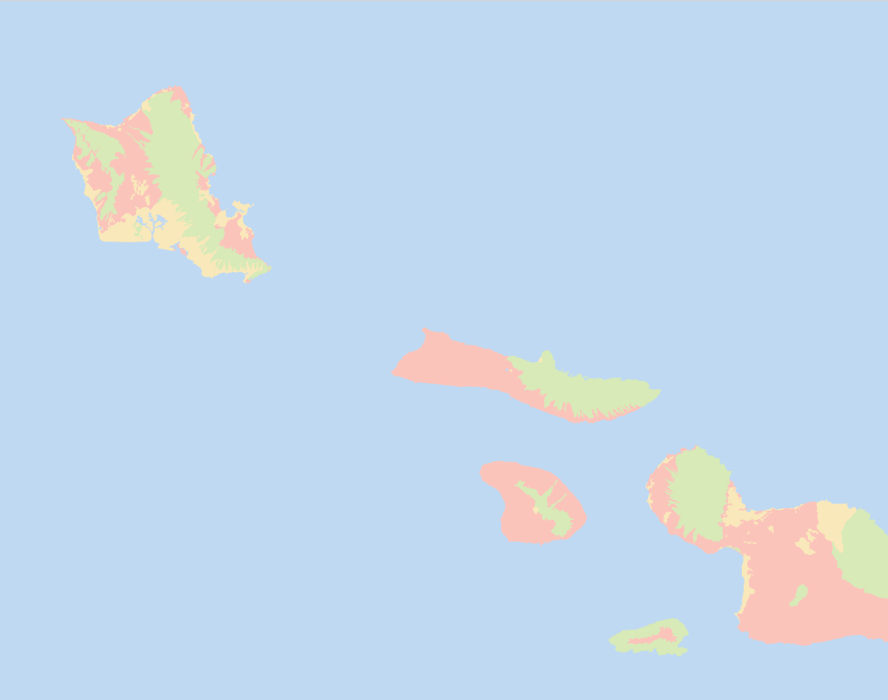
Land Cover Classification – Qatar (10m Satellite Imagery)
Project Overview
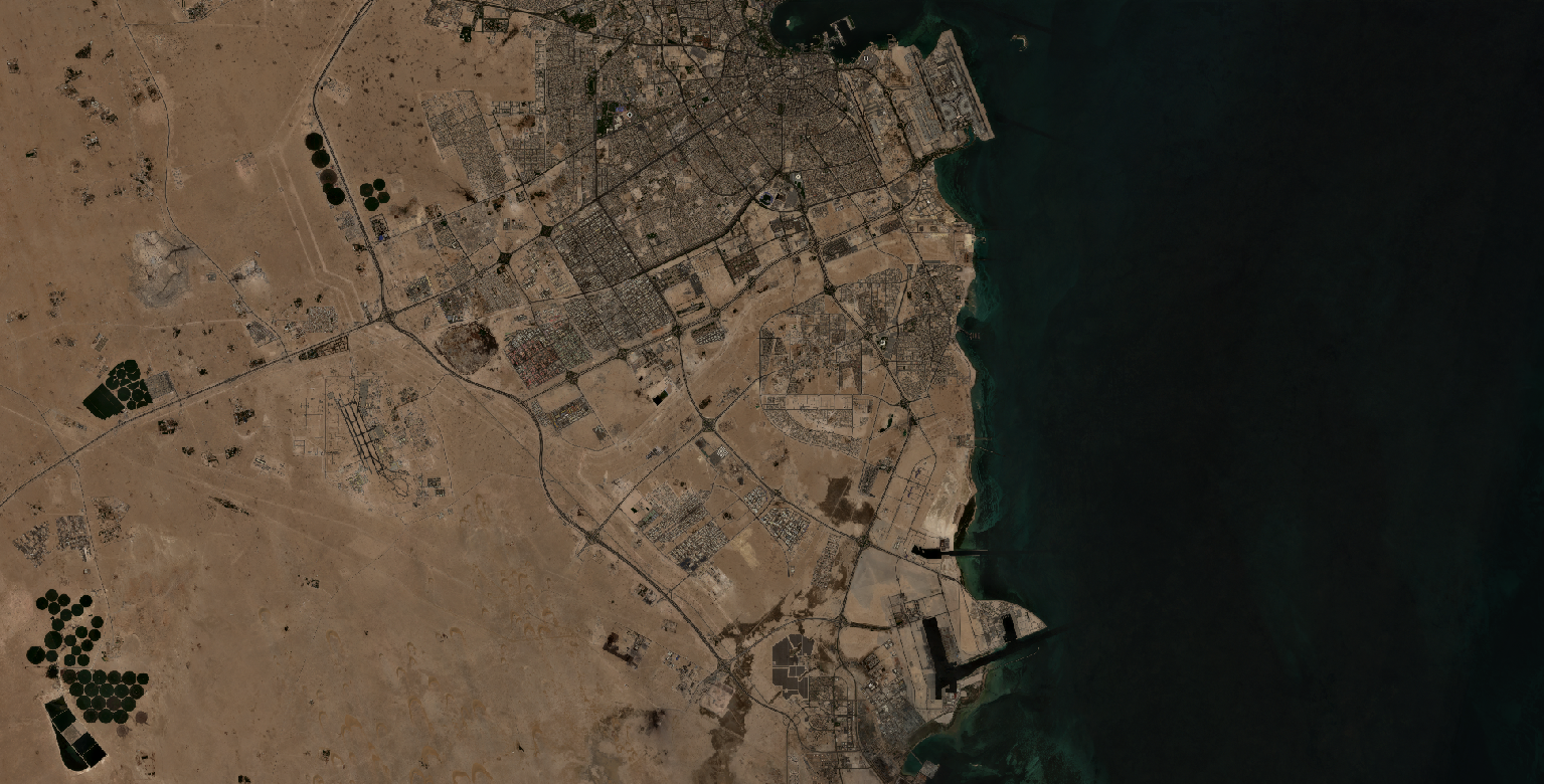
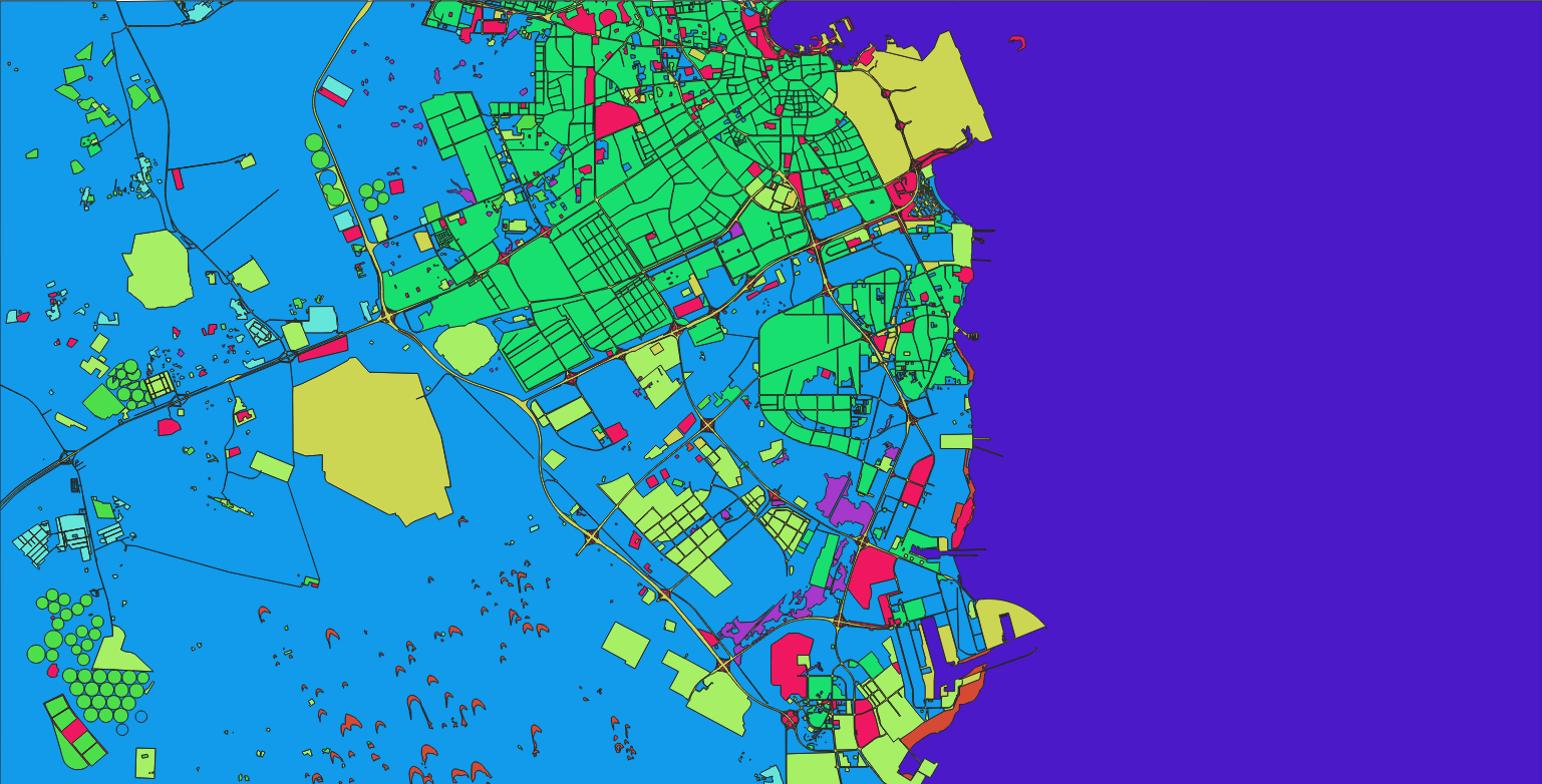
Nazru’s AI platform was deployed to classify land cover across the State of Qatar using 10‑metre resolution satellite imagery. The project mapped the peninsula into nine distinct classes: bare_soil, cultivated_crops, forest, industrial, transportation, urban_built, water, wetland, and wild_grass. The output supports urban planning, environmental monitoring, and sustainable development in this hyper‑arid Gulf region.
The Challenge
Classifying land cover over Qatar from 10m satellite data presents specific challenges:
Hyper‑arid desert landscape – vast expanses of bare soil, sand dunes, and rocky plains dominate; vegetation is sparse and often seasonal.
Urban expansion – rapid development in Doha and surrounding areas creates complex built‑up patterns mixed with vacant land and infrastructure projects.
Industrial zones – large‑scale oil, gas, and petrochemical facilities (e.g., Ras Laffan, Mesaieed) with similar spectral signatures to bare soil and concrete.
Coastal and marine influence – extensive coastline, artificial islands (e.g., The Pearl), and coastal sabkhas (salt flats) that can be confused with wetland or bare soil.
Limited agriculture – cultivated crops are confined to small, intensively irrigated areas (often using centre‑pivot irrigation), making them difficult to distinguish from wild grass or bare soil.
Spectral similarity –
bare_soil,industrial, andurban_builtcan share similar reflectances due to sand, concrete, and asphalt.
The Nazru Solution
Nazru’s platform integrated multi‑spectral satellite bands with a deep learning semantic segmentation model trained on Gulf region landscapes. The pipeline:
Pre‑processing – atmospheric correction, cloud masking (rare), and resampling to consistent 10m resolution.
Classification – pixel‑wise assignment to one of nine classes, with special attention to separating built‑up, industrial, and desert surfaces.
Post‑processing – raster‑to‑polygon conversion with noise removal and minimum mapping unit (MMU) filtering.
Accuracy assessment – validated against high‑resolution reference data (e.g., Google Earth, Planet imagery).
Class definitions (contextualised for Qatar):
| Class | Description |
|---|---|
bare_soil | Sand dunes, rocky desert, sabkhas (salt flats), and unvegetated surfaces |
cultivated_crops | Irrigated farms, centre‑pivot agriculture, and greenhouses (limited areas, often near Doha or northern Qatar) |
forest | Very limited – planted tree rows, urban parks, and roadside vegetation (sparse) |
industrial | Oil/gas facilities, refineries, ports, factories, and industrial zones |
transportation | Roads, highways, and transport corridors (e.g., Doha Expressway) |
urban_built | Residential, commercial, and mixed‑use built‑up areas (Doha, Al Wakrah, Al Khor) |
water | Persian Gulf waters, inland artificial lakes, and coastal seawater |
wetland | Coastal sabkhas, tidal flats, and seasonally inundated depressions (rare, often near coast) |
wild_grass | Natural desert scrub, sparse vegetation, and seasonal grass after winter rains |
Key Results & Benefits
First‑time detailed land cover map of Qatar at 10m resolution using consistent Sentinel‑2 data.
Clear separation of desert, urban, industrial, transport, agriculture, water, wetland, and sparse vegetation.
Supports:
Urban planning and infrastructure development (monitoring Doha’s expansion).
Environmental assessment (desertification, coastal sabkha conservation).
Resource management (water use for agriculture, coastal protection).
Scalable – can be applied to time‑series data for tracking urban sprawl and seasonal vegetation changes.
GIS‑ready – polygon outputs with class attributes and area measurements.
Key Technologies Used
Semantic segmentation (U‑Net / DeepLabV3+) for pixel‑wise classification.
Multi‑spectral indices – NDVI (vegetation), NDWI (water), and custom indices for desert and urban separation.
Polygon vectorisation – clean, topologically correct polygons.
Atmospheric correction – using standard pre‑processing pipelines (e.g., Sen2Cor).