Land Cover Classification – Iran (10m Satellite Imagery)
Project Overview
Nazru’s AI platform was deployed to produce a comprehensive, high‑accuracy land cover map of Iran using 10‑metre resolution satellite imagery. The project classified the entire country into nine distinct classes: bare_soil, cultivated_crops, forest, industrial, transportation, urban_built, water, wetland, and wild_grass. This nationwide dataset supports environmental monitoring, agricultural planning, urban development assessment, and natural resource management across Iran’s diverse climatic and ecological zones.
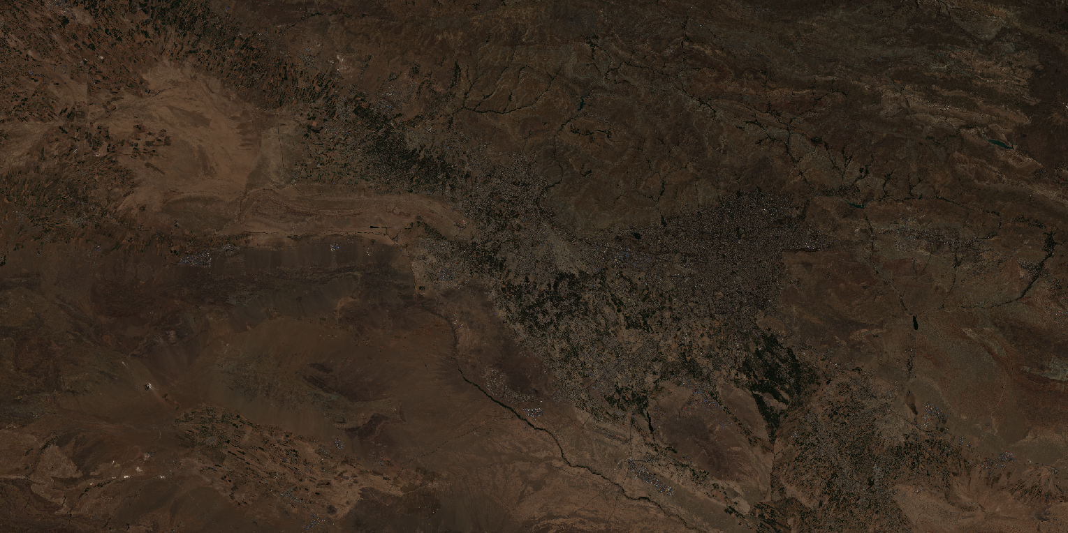
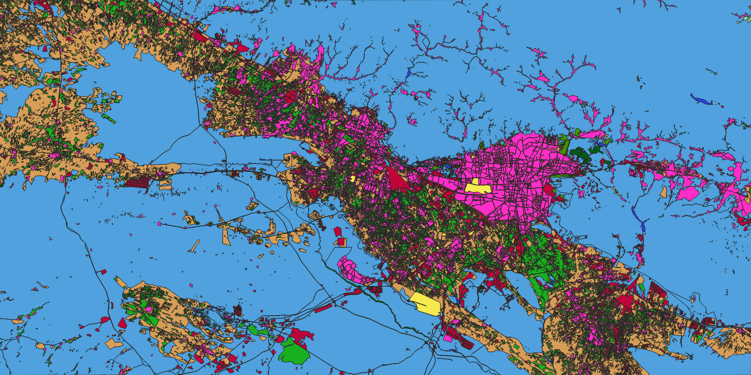
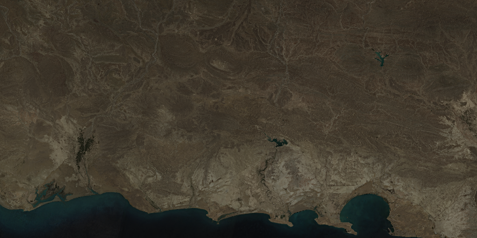
Sample satellite image over the greater Tehran metropolitan region, Iran – AI‑based land cover classification at 10m resolution.
The Challenge
Classifying land cover across Iran from 10m satellite data presents unique and significant challenges due to the country’s vast size and extreme environmental diversity:
Vast and diverse landscapes – Iran spans over 1.6 million km², encompassing deserts, mountains, forests, agricultural plains, wetlands, and extensive coastlines along the Caspian Sea and the Persian Gulf.
Dominant arid and semi‑arid regions – the largest terrestrial biome in Iran is deserts and xeric shrublands, covering approximately 35% of the country, with vast areas of bare soil, sand dunes, and salt flats.
Spectral similarity –
bare_soil,industrial, andurban_builtcan share similar reflectances due to sand, concrete, and asphalt;wild_grassandcultivated_cropsmay appear similar, especially in dry seasons.Limited and fragmented forests – only about 7.4% to 10.2% of Iran’s land area is classified as forest, concentrated in the Hyrcanian (Caspian) forests in the north and the Zagros forests in the west.
Agricultural diversity – agriculture covers approximately 13% of Iran’s total land area, with a mix of irrigated and rainfed farming, orchards, and fallow lands.
Seasonal variability – significant seasonal changes affect vegetation, water bodies (e.g., Lake Urmia, Hamoun wetlands), and agricultural patterns.
Urban expansion – rapid urban growth in cities like Tehran, Mashhad, and Isfahan creates complex built‑up patterns.
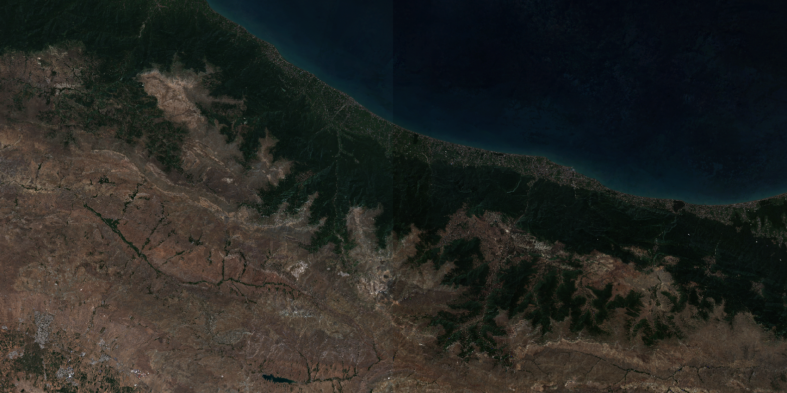
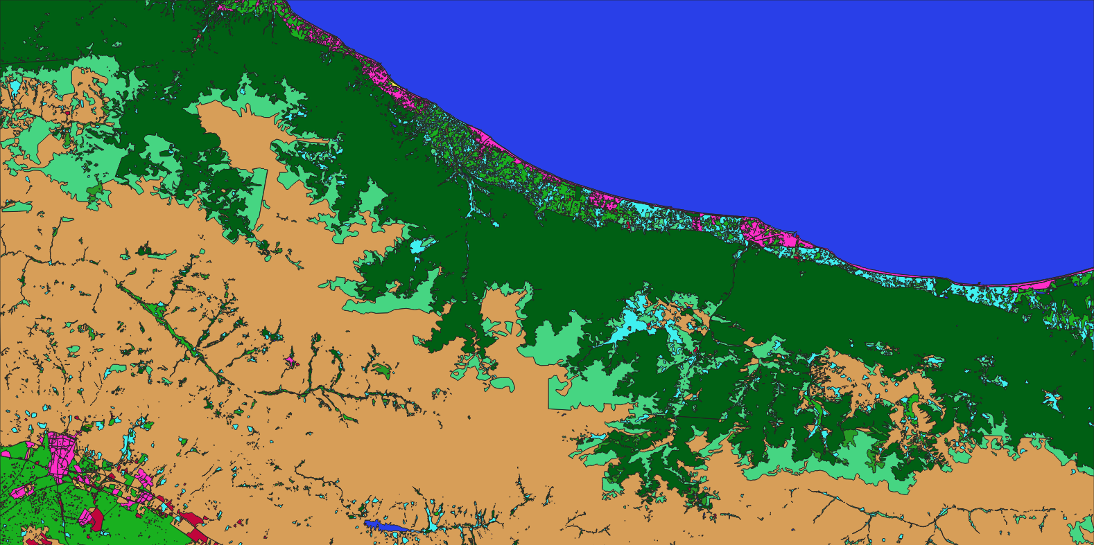
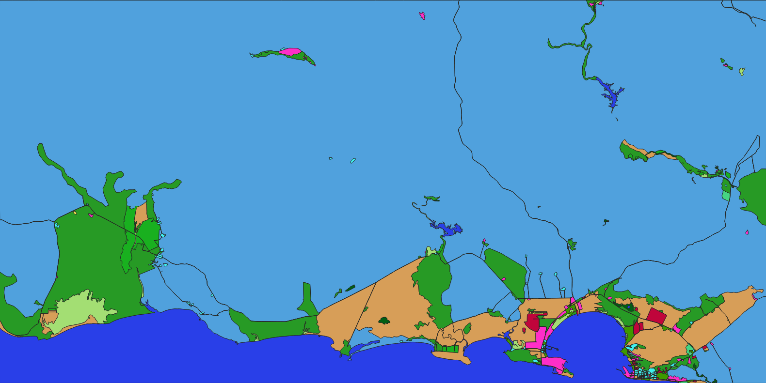
Sample satellite image over Northern Iran, Caspian region – AI‑based land cover classification at 10m resolution.
The Nazru Solution
Nazru’s platform integrated multi‑spectral satellite bands with a deep learning semantic segmentation model, building on proven methodologies for Iran‑wide land cover mapping. The pipeline:
Pre‑processing – atmospheric correction, cloud masking, and resampling to consistent 10m resolution. The approach follows established workflows that have processed over 2,500 Sentinel‑1 and over 11,000 Sentinel‑2 images to produce single mosaic datasets.
Classification – pixel‑wise assignment to one of nine classes using a model trained on Iran’s diverse landscapes. Similar object‑based Random Forest classification methods have achieved overall accuracy of 95.6% for Iran‑wide maps.
Post‑processing – raster‑to‑polygon conversion with noise removal and minimum mapping unit (MMU) filtering.
Accuracy assessment – validated against high‑resolution reference data and field surveys. Similar studies have demonstrated accuracy ranging from 85% to 97% across different climatic zones.
Class definitions (contextualised for Iran):
| Class | Description |
|---|---|
bare_soil | Desert surfaces, sand dunes, salt lands (including Kalut/yardang formations), clay plains, and uncovered plains |
cultivated_crops | Irrigated and rainfed farmlands, orchards, agroforestry, and fallow croplands – approximately 13% of Iran’s land area |
forest | Hyrcanian (Caspian) forests in the north, Zagros oak forests in the west, and Arasbaran forests in the northwest – covering approximately 8% of the country |
industrial | Oil and gas facilities, refineries, ports, factories, and industrial zones |
transportation | Roads, highways, railways, and transport corridors |
urban_built | Residential, commercial, and mixed‑use built‑up areas (Tehran, Mashhad, Isfahan, Shiraz, etc.) |
water | Caspian Sea, Persian Gulf, Lake Urmia, rivers, reservoirs, and inland water bodies |
wetland | Marshlands, seasonal wetlands (e.g., Hamoun, Shadegan, Anzali), and flood‑plain wetlands – including Ramsar‑protected sites |
wild_grass | Rangelands, steppe, natural grasslands, and xeric shrublands – covering approximately 55% of the country |
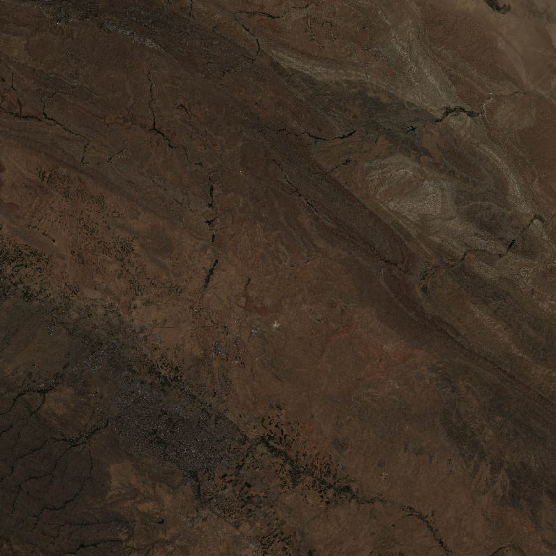
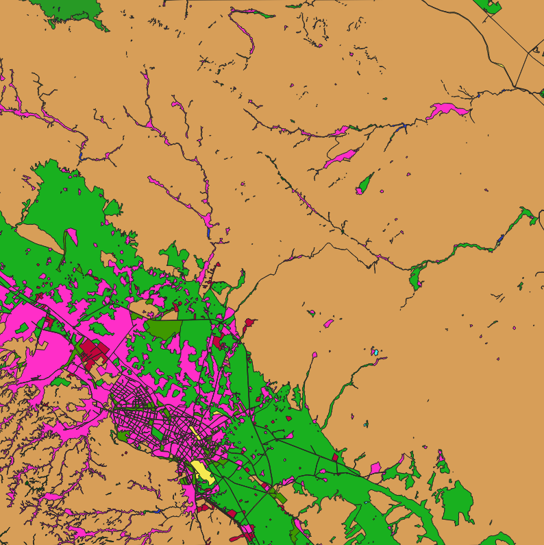
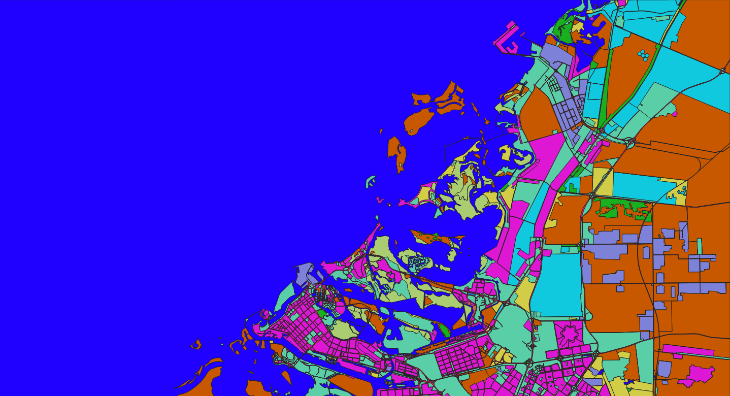
Sample satellite image over Mashhad, Iran – AI‑based land cover classification at 10m resolution.
Key Results & Benefits
First‑time high‑resolution (10m) land cover map of Iran using consistent Sentinel‑2 data with nine detailed classes.
Clear separation of desert, agriculture, forest, urban, industrial, transport, water, wetland, and rangeland across all 31 provinces.
Supports:
Agricultural monitoring – crop type mapping (irrigated vs. rainfed), yield estimation, and water resource management.
Environmental conservation – forest protection (Hyrcanian and Zagros), wetland monitoring (Lake Urmia, Hamoun), and desertification assessment.
Urban and industrial planning – city expansion monitoring and infrastructure development.
Climate change studies and sustainable development goal tracking.
Scalable – the methodology can be applied to time‑series data for seasonal and annual change detection.
GIS‑ready – polygon outputs with class attributes and area measurements.
Key Technologies Used
Semantic segmentation (U‑Net / DeepLabV3+) or object‑based Random Forest classification for pixel‑wise classification.
Multi‑spectral indices – NDVI (vegetation), NDWI (water), and custom indices for arid land discrimination.
Polygon vectorisation – clean, topologically correct polygons.
Atmospheric correction – using standard pre‑processing pipelines (e.g., Sen2Cor).
Big data processing – utilising cloud platforms (e.g., Google Earth Engine) for processing thousands of Sentinel‑1 and Sentinel‑2 scenes.