France Land Cover & Land Use Mapping (Case Study)
Location: France (nationwide)
Project Overview
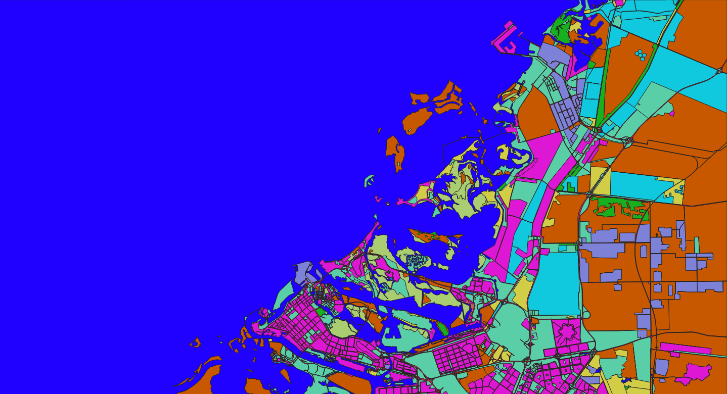
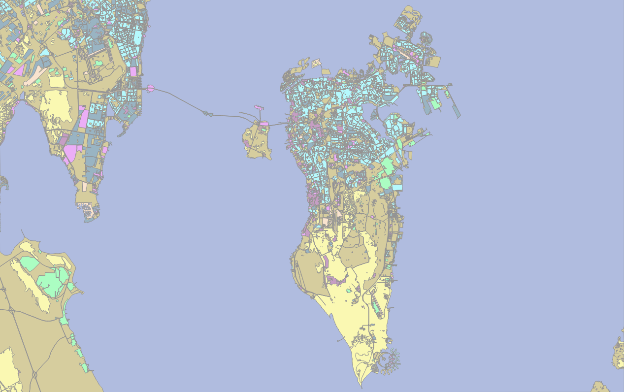
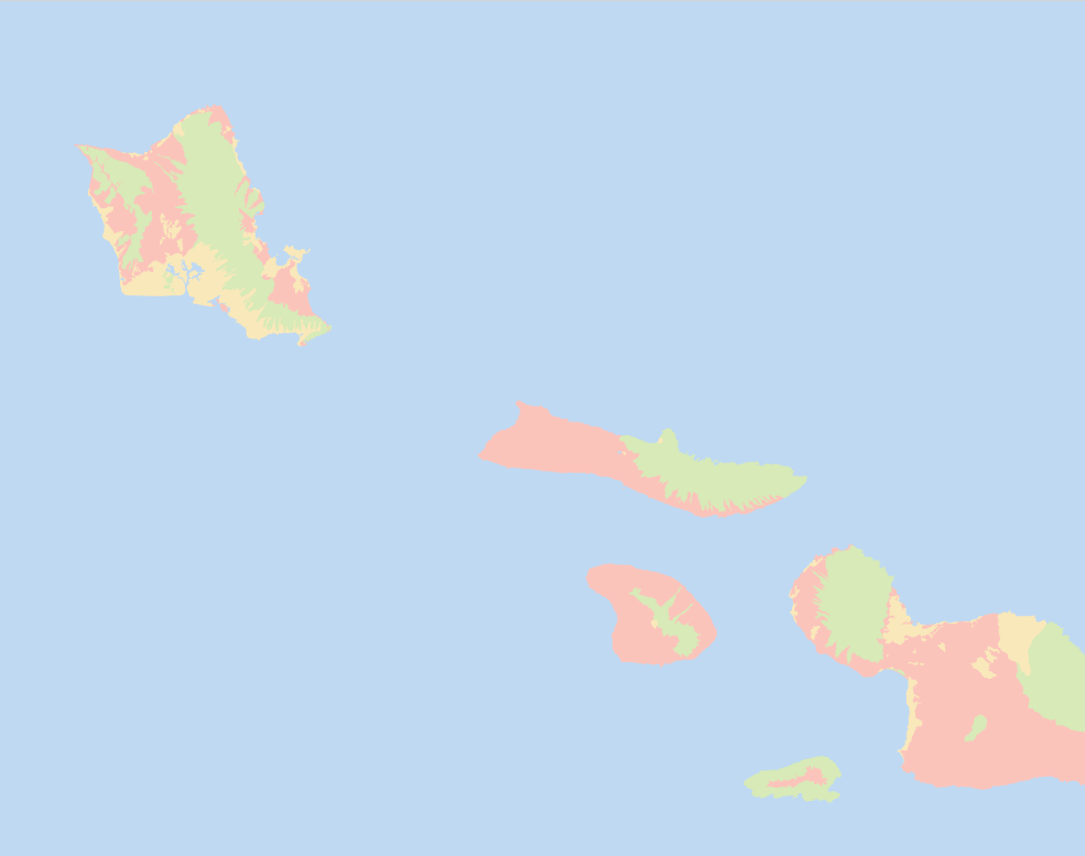
Nazru’s AI platform was deployed in France to automatically map land cover and land use into seven polygon classes: forest, agriculture, urban, water, rangeland, bareland, and road. This project delivered a high‑resolution, vector‑based land cover inventory suitable for environmental monitoring, spatial planning, and infrastructure management.
The Challenge
France’s diverse landscapes – from dense urban areas and agricultural plains to forests, rangelands, and water bodies – required a consistent, automated, and scalable method for land cover classification. Traditional methods (manual digitisation or low‑resolution satellite products) could not reliably separate rangeland from agriculture, bareland from urban fringes, or capture narrow linear features like roads as polygons. An AI‑powered, polygon‑only solution was needed.
The Nazru Solution
Nazru’s platform integrated high‑resolution satellite and aerial imagery with deep learning models for semantic segmentation. Our algorithms automatically classified every pixel (then vectorised into clean polygons) into one of seven classes:
| Class | Description |
|---|---|
forest | Tree‑covered areas (natural or planted), including woodlands |
agriculture | Cropland, orchards, vineyards, and other cultivated areas |
urban | Built‑up areas: residential, commercial, industrial, and transport infrastructure (excluding roads as separate class) |
water | Rivers, lakes, reservoirs, canals, and coastal water bodies |
rangeland | Grasslands, pastures, and natural herbaceous vegetation (non‑agricultural) |
bareland | Unpaved, unvegetated surfaces: sand, rock, exposed soil, quarries, and construction sites |
road | Paved vehicular transport corridors (extracted as area polygons, including road width) |
All outputs were delivered as polygons only, with full attribution and sub‑metre accuracy where supported by input imagery.
Key Results & Benefits
Nationwide/regional land cover map of France with seven detailed classes.
Clear separation of forest, agriculture, rangeland, bareland, urban, water, and road – supporting environmental policy (e.g., biodiversity, carbon stock), agricultural monitoring, and urban planning.
Roads as polygons – unlike traditional line‑based road maps, the polygon representation captures road width, enabling accurate surface area calculation and infrastructure management.
Automated, repeatable workflow – enables annual updates to track land use change (deforestation, urban sprawl, agricultural conversion).
Ready‑to‑use GIS outputs – Shapefile, GeoJSON, KML for seamless integration into existing systems.
Key Technologies Used
AI‑based semantic segmentation – pixel‑level classification of land cover from high‑resolution satellite/airborne imagery.
Polygon vectorisation – conversion of raster masks to topologically correct, smooth polygons.
Multi‑class deep learning – optimised for distinguishing spectrally similar classes (e.g., agriculture vs. rangeland, bareland vs. urban).
Road‑specific extraction – trained to capture road corridors as contiguous polygon features, including varying widths.
Output Format (Polygon Only)
Formats: Shapefile (.shp), GeoJSON, KML/KMZ