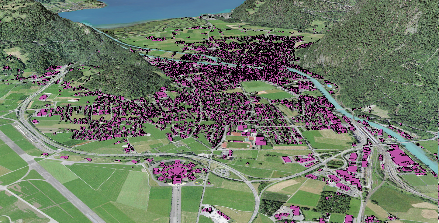
Impervious surface mapping refers to the process of creating a geospatial representation of land cover that does not allow water to permeate the soil. While numerous types of land cover exist globally, they can all be classified into two categories—pervious and impervious surfaces—to support various environmental applications.
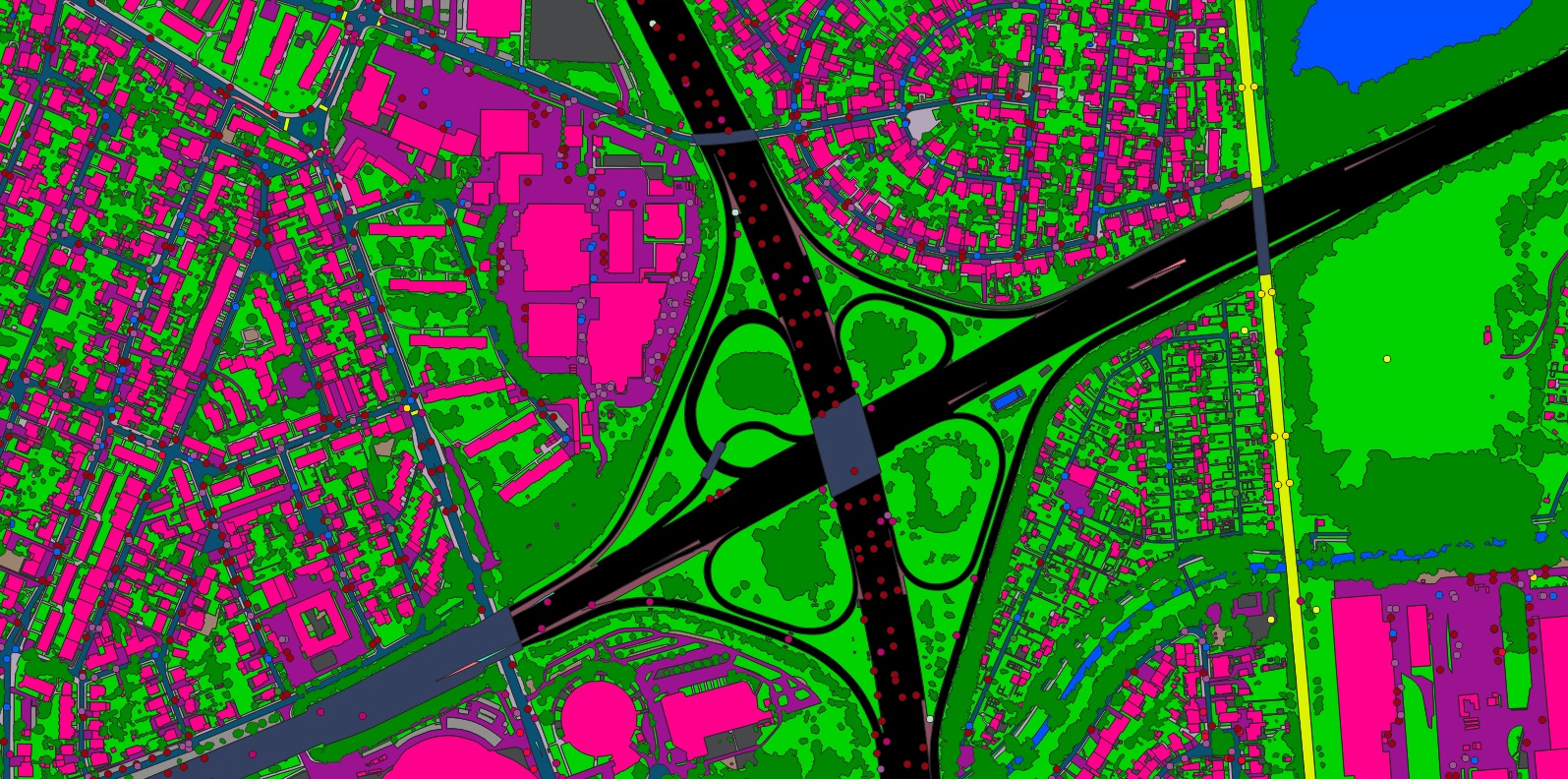
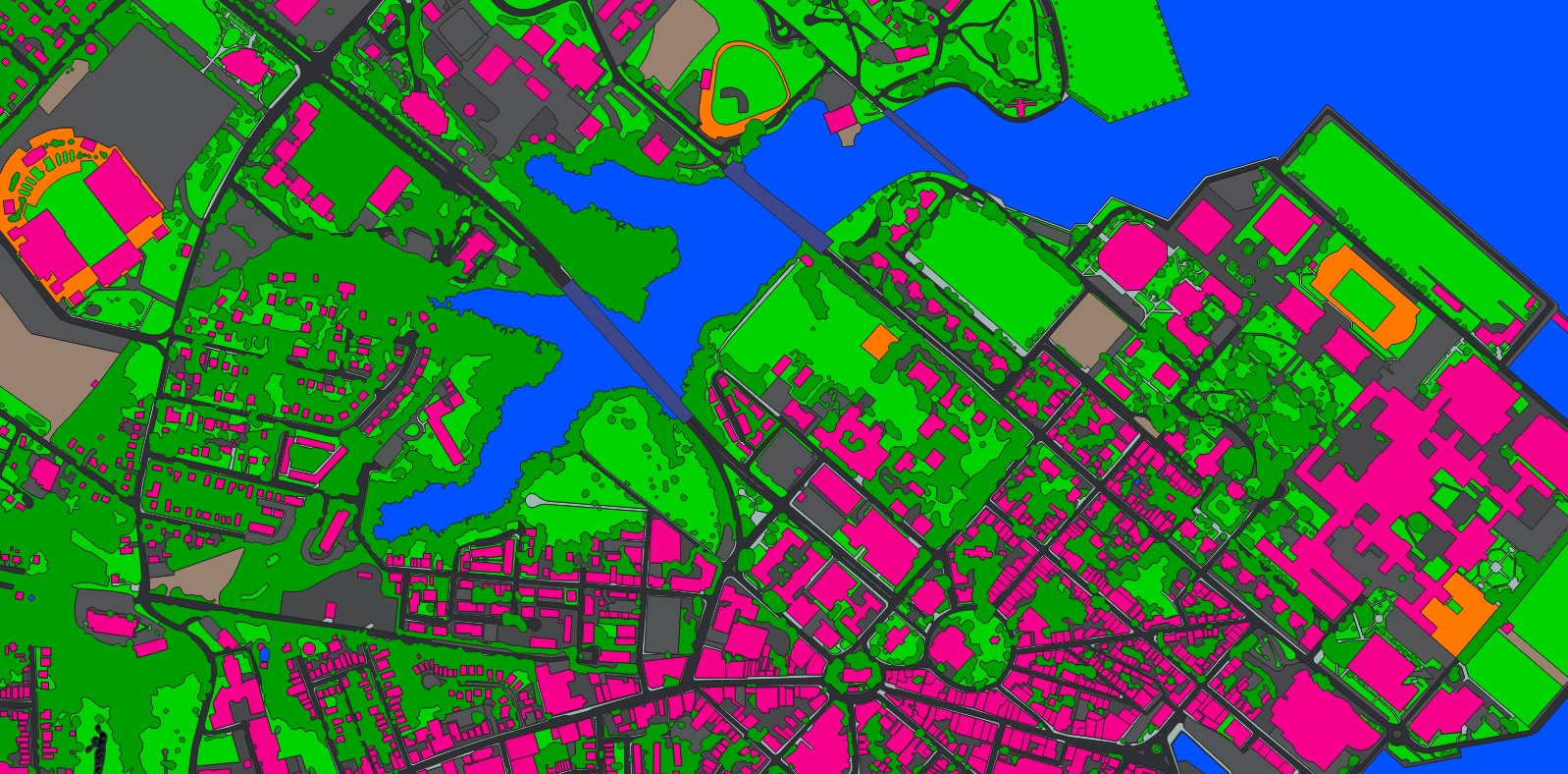
A sample of detailed land cover data, including both pervious and impervious surfaces in Boise, Idaho, USA